Kadakkavoor night lights from space
Night Light of Kadakkavoor (Kerala) from space (India) Src. Average luminocity for 10x10km area is 8.9421% and for 50x50km: 10.5417%.
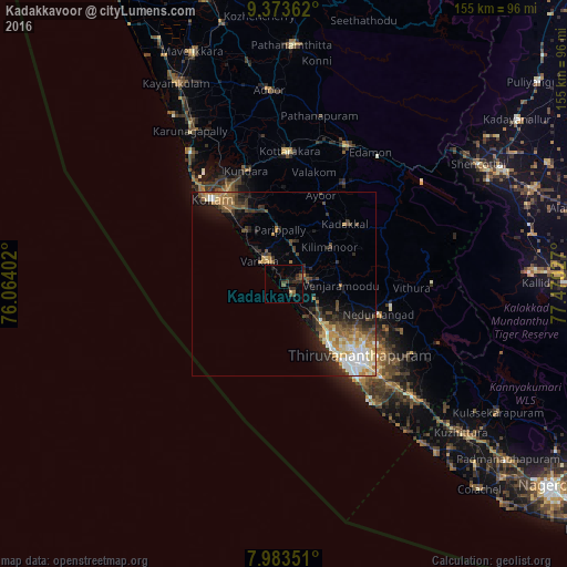
Analysis of Kadakkavoor night lights 2016
Square area 10x10 km:
 0%
0%90-99
0%80-89
0.83%70-79
0%60-69
1.03%50-59
1.86%40-49
3.72%30-39
2.48%20-29
4.96%10-19
4.75%0-9
80.37%Square area 50x50 km:
1.15%90-99
1.64%80-89
1.48%70-79
1.68%60-69
1.78%50-59
1.14%40-49
1.84%30-39
1.98%20-29
2.76%10-19
4.55%0-9
80.01%Clear (daylight) street map image can be seen on geolist.org.
Map coordinates:
9° 22' 25" North, 76° 3' 50.5" East
8° 40' 45.2" North, 76° 46' 1.7" East
7° 59' 0.6" North, 77° 28' 13" East
Some cities around Kadakkavoor sort by population:
• Thiruvananthapuram
29.4 km =18.3 mi,  137°
137°
• Kollam
30.1 km =18.7 mi,  318°
318°
• Nedumangād
27.1 km =16.8 mi,  108°
108°
• Punalūr
41.5 km =25.8 mi,  24°
24°
• Varkala
8.2 km =5.1 mi, 317°
• Paravūr Tekkumbhāgam
16.8 km =10.4 mi, 319°
• Vettūr
6.2 km =3.9 mi,  313°
313°
• Attingal
5.6 km =3.5 mi,  70°
70°
10628608 (p: 25,362)
Sources (retrieved 2019-11-25):
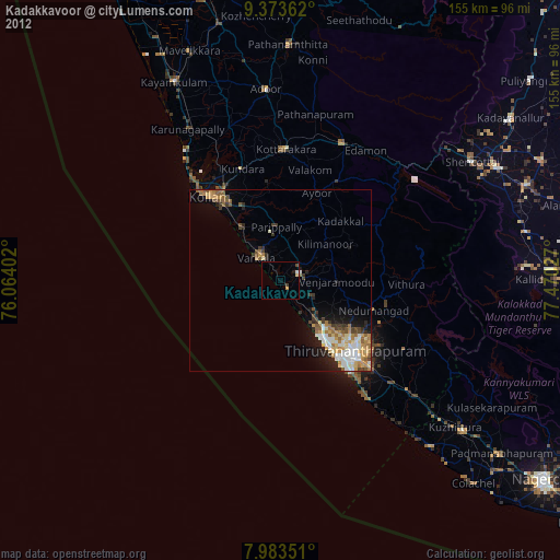
» Earth at Night: Flat Maps 2012, 2016