Navi Mumbai night lights from space
Night Light of Navi Mumbai (Maharashtra) from space (India) Src. Average luminocity for 10x10km area is 86.4784% and for 50x50km: 68.2647%.
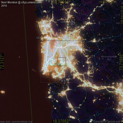
Analysis of Navi Mumbai night lights 2016
Square area 10x10 km:
 24.24%
90-99
33.12%80-89
14.94%70-79
5.63%60-69
14.07%50-59
6.28%40-49
1.73%30-39
0%20-29
0%10-19
0%0-9
0%Square area 50x50 km:
16.88%90-99
20.89%80-89
13.75%70-79
7.58%60-69
7.85%50-59
5.26%40-49
4.66%30-39
3.5%20-29
5.82%10-19
7.65%0-9
6.16%Clear (daylight) street map image can be seen on geolist.org.
Map coordinates:
19° 42' 0.5" North, 72° 18' 45.7" East
19° 2' 12.5" North, 73° 0' 57" East
18° 22' 15" North, 73° 43' 8.2" East
Some cities around Navi Mumbai sort by population:
• Mumbai
14.6 km =9.1 mi,  285°
285°
• Thāne
18.6 km =11.6 mi,  342°
342°
• Panvel
11.3 km =7 mi,  118°
118°
• Airoli
12.9 km =8 mi,  350°
350°
• Uran
19.4 km =12.1 mi,  204°
204°
• Powai
14.7 km =9.1 mi,  307°
307°
• Kālundri
13.3 km =8.3 mi, 118°
• Artist Village
2.9 km =1.8 mi,  100°
100°
6619347 (p: 2,600,000)
Sources (retrieved 2019-11-25):
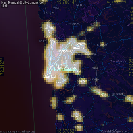
» NASA, Earths city lights 1995
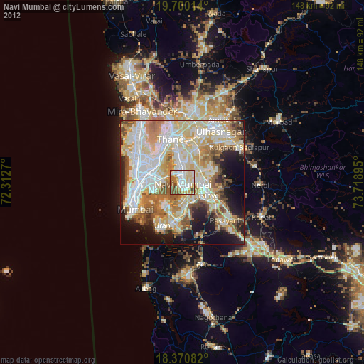
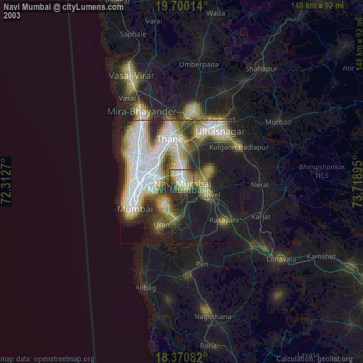
» NASA city lights 2003
» Earth at Night: Flat Maps 2012, 2016