Panvel night lights from space
Night Light of Panvel (Maharashtra) from space (India) Src. Average luminocity for 10x10km area is 82.9048% and for 50x50km: 54.8937%.
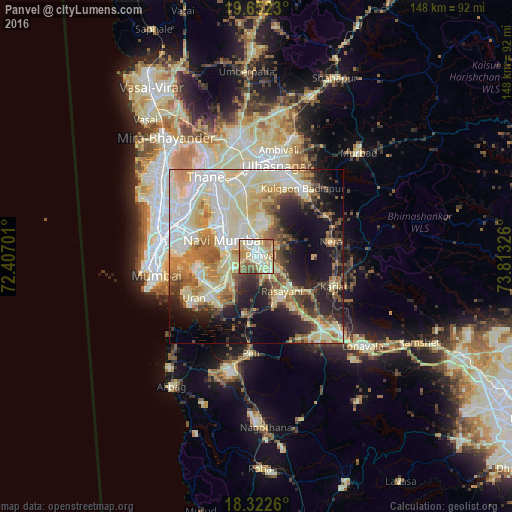
Analysis of Panvel night lights 2016
Square area 10x10 km:
 14.5%
14.5%90-99
25.32%80-89
24.89%70-79
12.99%60-69
11.26%50-59
8.01%40-49
3.03%30-39
0%20-29
0%10-19
0%0-9
0%Square area 50x50 km:
9.14%90-99
15.3%80-89
12.72%70-79
6.63%60-69
6.87%50-59
5.04%40-49
5.08%30-39
4.62%20-29
7.62%10-19
12.66%0-9
14.31%Clear (daylight) street map image can be seen on geolist.org.
Map coordinates:
19° 39' 8.3" North, 72° 24' 25.2" East
18° 59' 19.6" North, 73° 6' 36.5" East
18° 19' 21.4" North, 73° 48' 47.7" East
Some cities around Panvel sort by population:
• Navi Mumbai
11.3 km =7 mi,  298°
298°
• Airoli
21.6 km =13.4 mi,  326°
326°
• Karjat
24.1 km =15 mi,  111°
111°
• Uran
21.8 km =13.5 mi,  235°
235°
• Neral
22.1 km =13.7 mi,  79°
79°
• Kālundri
2 km =1.2 mi,  118°
118°
• Artist Village
8.6 km =5.3 mi, 304°
• Mātherān
16.3 km =10.1 mi,  92°
92°
1260434 (p: 128,046)
Sources (retrieved 2019-11-25):
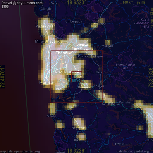
» NASA, Earths city lights 1995
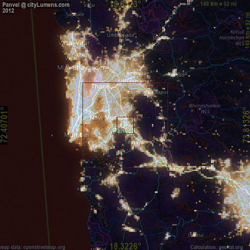
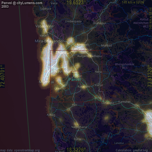
» NASA city lights 2003
» Earth at Night: Flat Maps 2012, 2016