Airoli night lights from space
Night Light of Airoli (Maharashtra) from space (India) Src. Average luminocity for 10x10km area is 94.6104% and for 50x50km: 75.4811%.
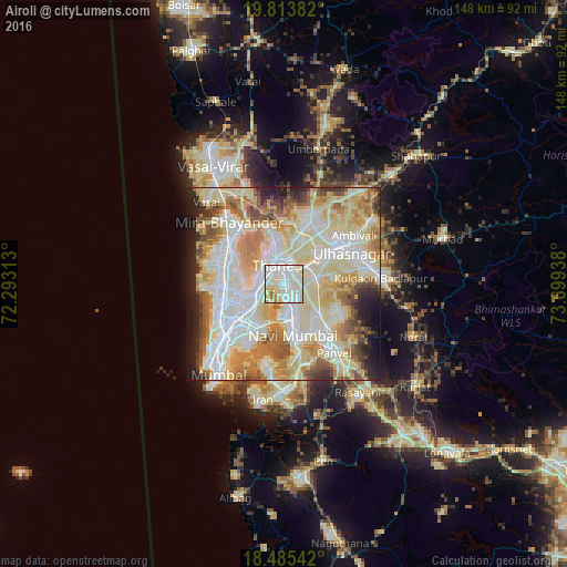
Analysis of Airoli night lights 2016
Square area 10x10 km:
 34.2%
34.2%90-99
51.3%80-89
8.44%70-79
4.33%60-69
1.3%50-59
0.43%40-49
0%30-39
0%20-29
0%10-19
0%0-9
0%Square area 50x50 km:
18.18%90-99
23.62%80-89
16.77%70-79
8.8%60-69
8.96%50-59
5.71%40-49
4.48%30-39
2.75%20-29
4.96%10-19
5.02%0-9
0.75%Clear (daylight) street map image can be seen on geolist.org.
Map coordinates:
19° 48' 49.8" North, 72° 17' 35.3" East
19° 9' 3.5" North, 72° 59' 46.5" East
18° 29' 7.5" North, 73° 41' 57.8" East
Some cities around Airoli sort by population:
• Mumbai
14.8 km =9.2 mi,  233°
233°
• Navi Mumbai
12.9 km =8 mi,  170°
170°
• Thāne
6.2 km =3.9 mi,  326°
326°
• Dombivli
11.7 km =7.3 mi,  51°
51°
• Borivli
17.1 km =10.6 mi,  303°
303°
• Ulhasnagar
17.7 km =11 mi,  65°
65°
• Powai
10.4 km =6.5 mi,  248°
248°
• Artist Village
14.1 km =8.8 mi,  159°
159°
7279599 (p: 100,000)
Sources (retrieved 2019-11-25):
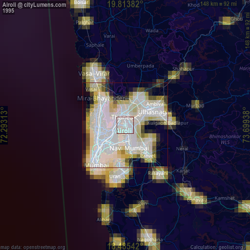
» NASA, Earths city lights 1995
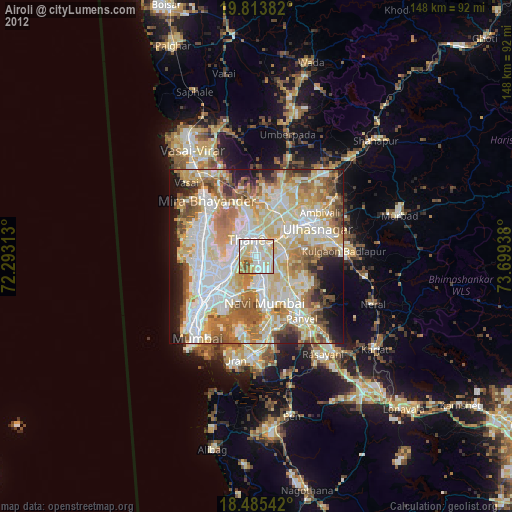
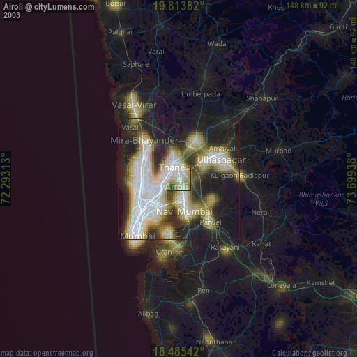
» NASA city lights 2003
» Earth at Night: Flat Maps 2012, 2016