Mumbai night lights from space
Night Light of Mumbai (Maharashtra) from space (India) Src. Average luminocity for 10x10km area is 99.7338% and for 50x50km: 58.0462%.
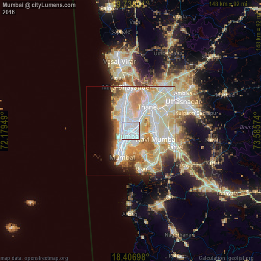
Analysis of Mumbai night lights 2016
Square area 10x10 km:
 80.95%
90-99
19.05%80-89
0%70-79
0%60-69
0%50-59
0%40-49
0%30-39
0%20-29
0%10-19
0%0-9
0%Square area 50x50 km:
16.1%90-99
18.87%80-89
11.49%70-79
5.84%60-69
6.36%50-59
3.41%40-49
2.58%30-39
1.93%20-29
3.66%10-19
5.39%0-9
24.36%Clear (daylight) street map image can be seen on geolist.org.
Map coordinates:
19° 44' 9.6" North, 72° 10' 46.2" East
19° 4' 22.2" North, 72° 52' 57.4" East
18° 24' 25.1" North, 73° 35' 8.7" East
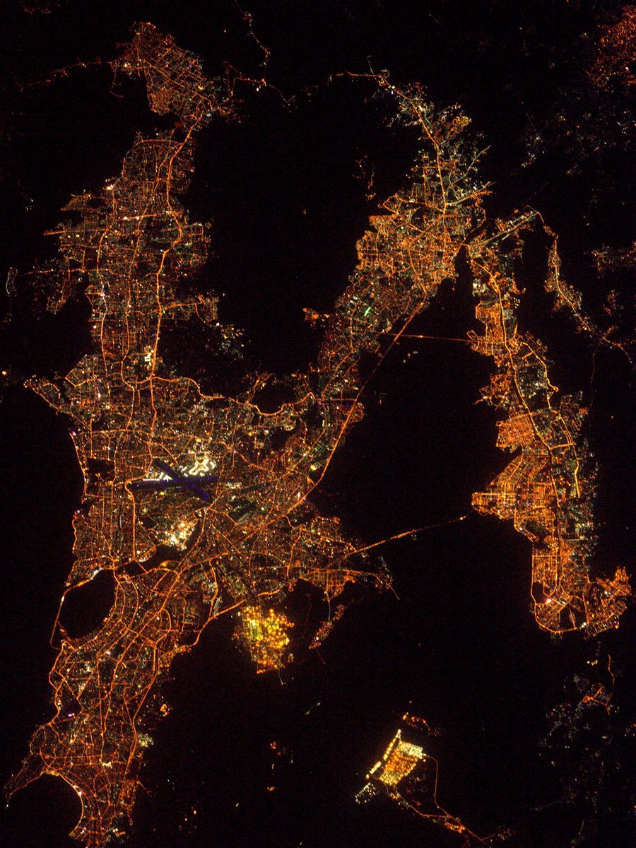
Fantastic image of Mumbai from space taken by astronauts [src2], but I don't have information about it's orientation, scale or angle. If necessary, it was rotated manually, so North points approximately to upper direction. Click to zoom in:
Some cities around Mumbai sort by population:
• Navi Mumbai
14.6 km =9.1 mi,  105°
105°
• Thāne
16.2 km =10.1 mi,  31°
31°
• Borivli
18.2 km =11.3 mi,  352°
352°
• Bhayandar
25.6 km =15.9 mi, 352°
• Airoli
14.8 km =9.2 mi,  53°
53°
• Uran
22.5 km =14 mi,  164°
164°
• Powai
5.4 km =3.4 mi, 25°
• Artist Village
17.4 km =10.8 mi,  104°
104°
1275339 (p: 12,691,836)
Sources (retrieved 2019-11-25):
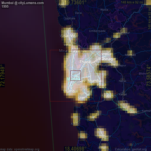
» NASA, Earths city lights 1995
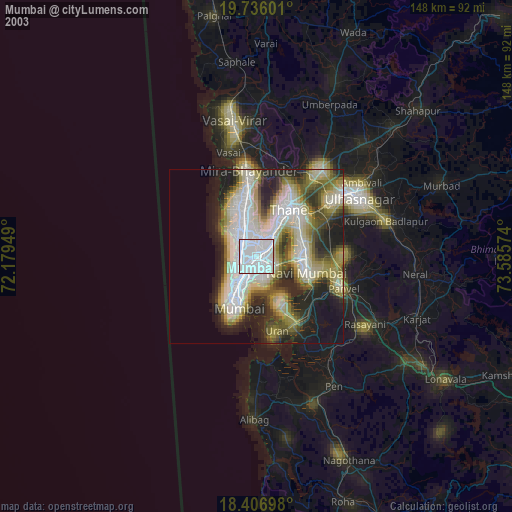
» NASA city lights 2003
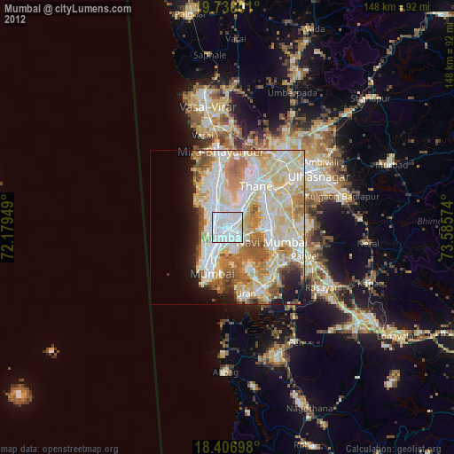
» Earth at Night: Flat Maps 2012, 2016
Src.2: Thomas Pesquet, Twitter/@Thom_astro, 2017-02-24