Bādāmi night lights from space
Night Light of Bādāmi (Karnataka) from space (India) Src. Average luminocity for 10x10km area is 10.5974% and for 50x50km: 3.7461%.
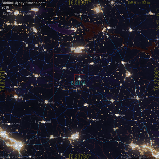
Analysis of Bādāmi night lights 2016
Square area 10x10 km:
 2.38%
2.38%90-99
1.08%80-89
0.22%70-79
0.65%60-69
0.87%50-59
3.46%40-49
0.22%30-39
3.03%20-29
1.08%10-19
0.43%0-9
86.58%Square area 50x50 km:
0.24%90-99
0.23%80-89
0.25%70-79
0.24%60-69
0.48%50-59
0.69%40-49
0.97%30-39
1.11%20-29
1.41%10-19
1.93%0-9
92.46%Clear (daylight) street map image can be seen on geolist.org.
Map coordinates:
16° 35' 23.9" North, 74° 58' 25.4" East
15° 54' 53.8" North, 75° 40' 36.6" East
15° 14' 15.5" North, 76° 22' 47.9" East
Some cities around Bādāmi sort by population:
• Bagalkot
30.3 km =18.8 mi,  3°
3°
• Guledagudda
19.3 km =12 mi,  38°
38°
• Nargund
37.7 km =23.4 mi,  235°
235°
• Gajendragarh
37.1 km =23.1 mi,  122°
122°
• Ron
24.7 km =15.3 mi,  165°
165°
• Hungund
44 km =27.3 mi,  68°
68°
• Kerūr
17.8 km =11.1 mi,  308°
308°
• Naregal
40.5 km =25.2 mi,  159°
159°
1278017 (p: 28,314)
Sources (retrieved 2019-11-25):
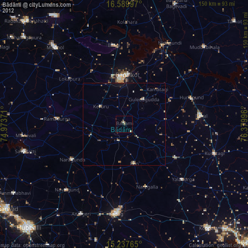
» Earth at Night: Flat Maps 2012, 2016