Nandyāl night lights from space
Night Light of Nandyāl (Andhra Pradesh) from space (India) Src. Average luminocity for 10x10km area is 48.184% and for 50x50km: 5.1746%.
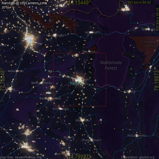
Analysis of Nandyāl night lights 2016
Square area 10x10 km:
 4.76%
4.76%90-99
14.94%80-89
7.58%70-79
1.73%60-69
5.19%50-59
9.52%40-49
8.01%30-39
5.84%20-29
10.39%10-19
30.95%0-9
1.08%Square area 50x50 km:
0.25%90-99
0.67%80-89
0.49%70-79
0.13%60-69
0.87%50-59
1.24%40-49
0.92%30-39
1.04%20-29
1.66%10-19
3.65%0-9
89.08%Clear (daylight) street map image can be seen on geolist.org.
Map coordinates:
16° 9' 16.2" North, 77° 46' 49.7" East
15° 28' 40.8" North, 78° 29' 1" East
14° 47' 57.4" North, 79° 11' 12.2" East
Some cities around Nandyāl sort by population:
• Kurnool
61.8 km =38.4 mi,  309°
309°
• Nandikotkūr
48.1 km =29.9 mi,  331°
331°
• Betamcherla
36.1 km =22.4 mi,  265°
265°
• Atmakūr
46.2 km =28.7 mi,  13°
13°
• Giddalūr
48.8 km =30.3 mi,  103°
103°
• Banganapalle
32.8 km =20.4 mi,  237°
237°
• Ālampur
58.3 km =36.2 mi,  320°
320°
• Diguvametta
38.2 km =23.7 mi, 103°
1261927 (p: 165,337)
Sources (retrieved 2019-11-25):
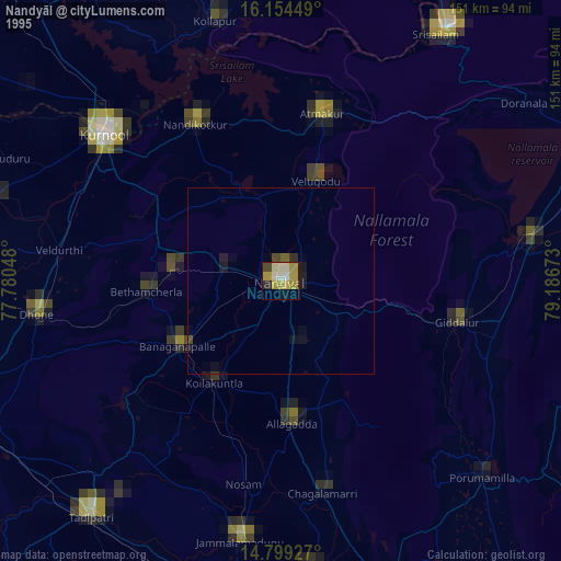
» NASA, Earths city lights 1995
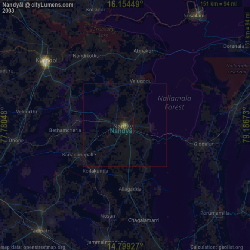
» NASA city lights 2003
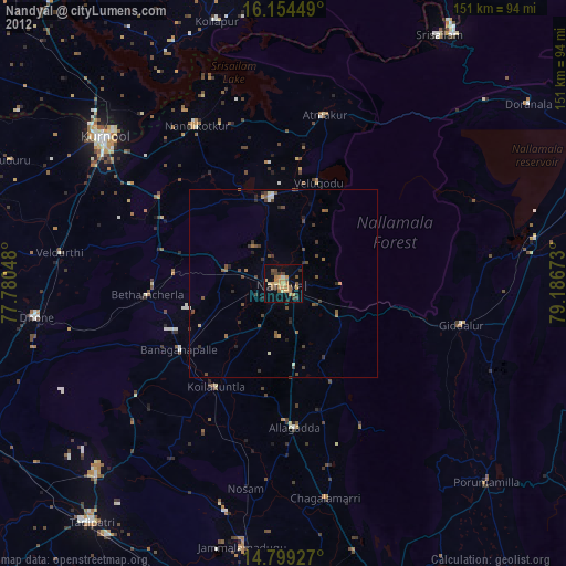
» Earth at Night: Flat Maps 2012, 2016