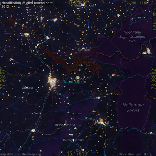
Nandikotkūr night lights from space
Night Light of Nandikotkūr (Andhra Pradesh) from space (India) Src. Average luminocity for 10x10km area is 12.7316% and for 50x50km: 7.8044%.
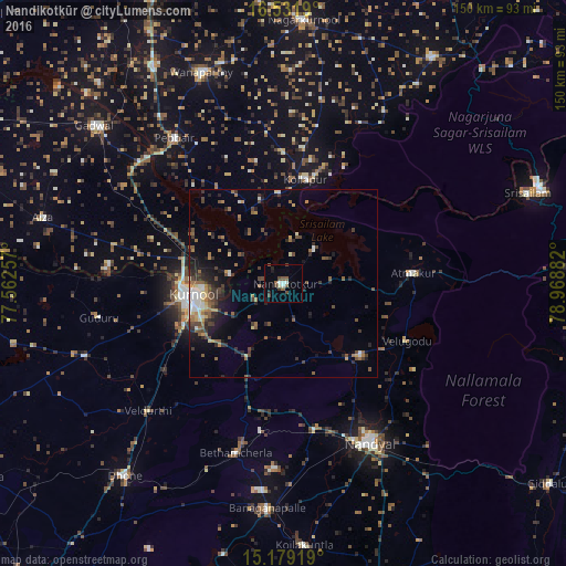
Analysis of Nandikotkūr night lights 2016
Square area 10x10 km:
 0.43%
0.43%90-99
3.03%80-89
0.87%70-79
0%60-69
0.43%50-59
4.33%40-49
3.9%30-39
0.87%20-29
1.73%10-19
2.38%0-9
82.03%Square area 50x50 km:
0.51%90-99
1.15%80-89
0.61%70-79
0.61%60-69
1.31%50-59
1.5%40-49
1.63%30-39
1.83%20-29
2.07%10-19
3.58%0-9
85.2%Clear (daylight) street map image can be seen on geolist.org.
Map coordinates:
16° 31' 54.8" North, 77° 33' 45.3" East
15° 51' 24" North, 78° 15' 56.5" East
15° 10' 45.1" North, 78° 58' 7.8" East
Some cities around Nandikotkūr sort by population:
• Kurnool
24.8 km =15.4 mi,  262°
262°
• Nandyāl
48.1 km =29.9 mi,  151°
151°
• Gadwāl
65.5 km =40.7 mi,  309°
309°
• Wanparti
60.6 km =37.7 mi,  339°
339°
• Betamcherla
46.8 km =29.1 mi,  195°
195°
• Atmakūr
34.5 km =21.4 mi,  85°
85°
• Banganapalle
60.1 km =37.3 mi,  183°
183°
• Ālampur
14.4 km =8.9 mi,  280°
280°
1261957 (p: 45,343)
Sources (retrieved 2019-11-25):
» Earth at Night: Flat Maps 2012, 2016