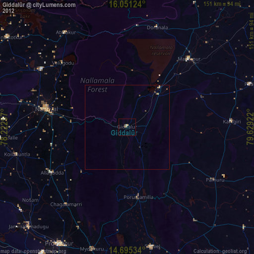
Giddalūr night lights from space
Night Light of Giddalūr (Andhra Pradesh) from space (India) Src. Average luminocity for 10x10km area is 8.9697% and for 50x50km: 0.9092%.
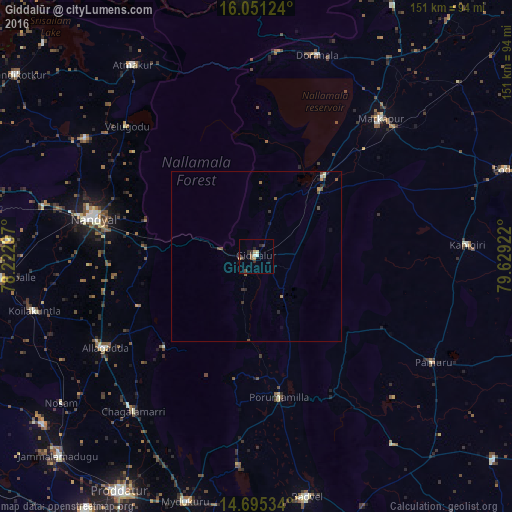
Analysis of Giddalūr night lights 2016
Square area 10x10 km:
 0.43%
0.43%90-99
1.52%80-89
1.52%70-79
0.65%60-69
0.87%50-59
1.52%40-49
0%30-39
3.68%20-29
3.68%10-19
1.08%0-9
85.06%Square area 50x50 km:
0.02%90-99
0.1%80-89
0.12%70-79
0.13%60-69
0.08%50-59
0.23%40-49
0.15%30-39
0.28%20-29
0.3%10-19
0.19%0-9
98.41%Clear (daylight) street map image can be seen on geolist.org.
Map coordinates:
16° 3' 4.5" North, 78° 13' 22.7" East
15° 22' 27.8" North, 78° 55' 33.9" East
14° 41' 43.2" North, 79° 37' 45.2" East
Some cities around Giddalūr sort by population:
• Nandyāl
48.8 km =30.3 mi,  283°
283°
• Mārkāpur
54.4 km =33.8 mi,  42°
42°
• Atmakūr
67 km =41.6 mi,  327°
327°
• Chemmumiahpet
72 km =44.7 mi, 36°
• Kanigiri
62.4 km =38.8 mi,  86°
86°
• Cumbum
30.4 km =18.9 mi, 40°
• Badvel
71.5 km =44.4 mi,  168°
168°
• Diguvametta
10.6 km =6.6 mi, 282°
1271213 (p: 28,142)
Sources (retrieved 2019-11-25):
» Earth at Night: Flat Maps 2012, 2016