Atmakūr night lights from space
Night Light of Atmakūr (Andhra Pradesh) from space (India) Src. Average luminocity for 10x10km area is 8.9632% and for 50x50km: 1.3605%.
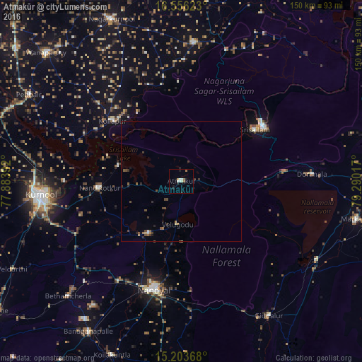
Analysis of Atmakūr night lights 2016
Square area 10x10 km:
 1.73%
1.73%90-99
1.95%80-89
0.65%70-79
0.87%60-69
1.52%50-59
1.08%40-49
0%30-39
0%20-29
1.3%10-19
2.6%0-9
88.31%Square area 50x50 km:
0.11%90-99
0.09%80-89
0.09%70-79
0.11%60-69
0.21%50-59
0.29%40-49
0.37%30-39
0.29%20-29
0.33%10-19
0.29%0-9
97.81%Clear (daylight) street map image can be seen on geolist.org.
Map coordinates:
16° 33' 22.4" North, 77° 53' 2.1" East
15° 52' 51.9" North, 78° 35' 13.3" East
15° 12' 13.2" North, 79° 17' 24.6" East
Some cities around Atmakūr sort by population:
• Kurnool
59.2 km =36.8 mi,  264°
264°
• Nandyāl
46.2 km =28.7 mi,  193°
193°
• Nandikotkūr
34.5 km =21.4 mi,  265°
265°
• Giddalūr
67 km =41.6 mi,  147°
147°
• Srīsailain
36.8 km =22.9 mi,  54°
54°
• Cumbum
65.2 km =40.5 mi,  120°
120°
• Ālampur
48.5 km =30.1 mi, 269°
• Diguvametta
59.9 km =37.2 mi, 154°
1278201 (p: 35,137)
Sources (retrieved 2019-11-25):
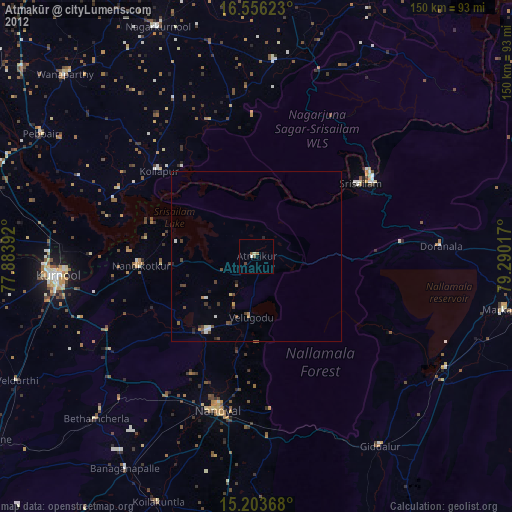
» Earth at Night: Flat Maps 2012, 2016