Gadwāl night lights from space
Night Light of Gadwāl (Telangana) from space (India) Src. Average luminocity for 10x10km area is 30.8058% and for 50x50km: 14.8536%.
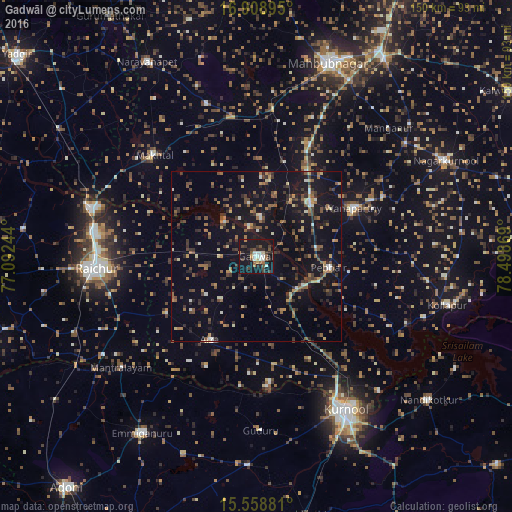
Analysis of Gadwāl night lights 2016
Square area 10x10 km:
 3.31%
3.31%90-99
5.79%80-89
1.86%70-79
2.89%60-69
1.65%50-59
6.4%40-49
5.79%30-39
5.79%20-29
7.23%10-19
53.1%0-9
6.2%Square area 50x50 km:
0.47%90-99
1.34%80-89
1.04%70-79
1.41%60-69
2.18%50-59
2.98%40-49
2.74%30-39
3.4%20-29
3.72%10-19
16.11%0-9
64.62%Clear (daylight) street map image can be seen on geolist.org.
Map coordinates:
16° 54' 32.2" North, 77° 5' 32.8" East
16° 14' 6.1" North, 77° 47' 44" East
15° 33' 31.7" North, 78° 29' 55.3" East
Some cities around Gadwāl sort by population:
• Kurnool
52 km =32.3 mi,  150°
150°
• Rāichūr
47.1 km =29.3 mi,  265°
265°
• Mahbūbnagar
60.1 km =37.3 mi,  19°
19°
• Emmiganūr
61.3 km =38.1 mi,  212°
212°
• Wanparti
32.7 km =20.3 mi,  63°
63°
• Nārāyanpet
65.4 km =40.6 mi,  330°
330°
• Nāgar Karnūl
62.8 km =39 mi, 64°
• Ālampur
53.5 km =33.2 mi,  137°
137°
1271819 (p: 55,952)
Sources (retrieved 2019-11-25):
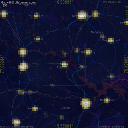
» NASA, Earths city lights 1995
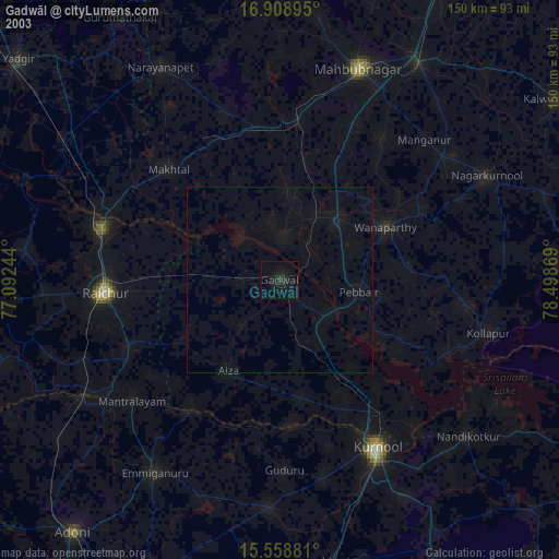
» NASA city lights 2003
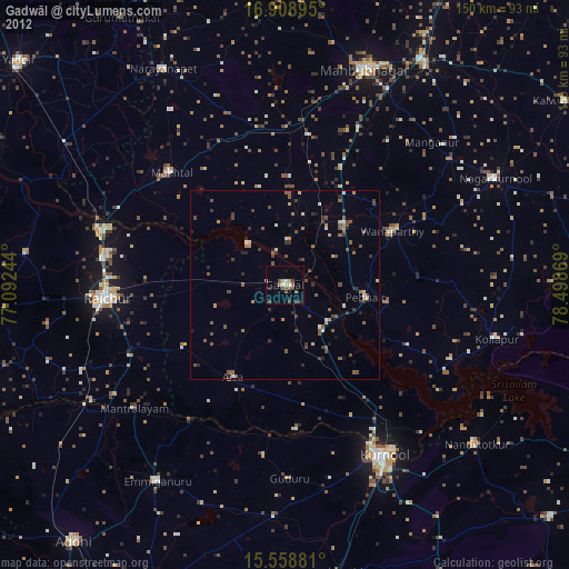
» Earth at Night: Flat Maps 2012, 2016