Nādbai night lights from space
Night Light of Nādbai (Rajasthan) from space (India) Src. Average luminocity for 10x10km area is 12.6629% and for 50x50km: 9.2621%.
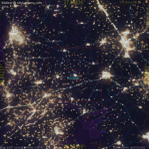
Analysis of Nādbai night lights 2016
Square area 10x10 km:
 0.95%
0.95%90-99
0.57%80-89
2.65%70-79
0.38%60-69
0.76%50-59
2.27%40-49
3.98%30-39
1.52%20-29
3.79%10-19
0.57%0-9
82.58%Square area 50x50 km:
0.15%90-99
0.46%80-89
1.07%70-79
0.68%60-69
1.5%50-59
2.08%40-49
2.44%30-39
2.23%20-29
2.97%10-19
6.13%0-9
80.29%Clear (daylight) street map image can be seen on geolist.org.
Map coordinates:
27° 50' 46.9" North, 76° 29' 33.3" East
27° 13' 22.4" North, 77° 11' 44.5" East
26° 35' 45.2" North, 77° 53' 55.8" East
Some cities around Nādbai sort by population:
• Bharatpur
29.1 km =18.1 mi,  91°
91°
• Dīg
30.5 km =19 mi,  24°
24°
• Bayāna
36.2 km =22.5 mi,  165°
165°
• Nagar
24.3 km =15.1 mi,  336°
336°
• Mahwah
32.7 km =20.3 mi,  233°
233°
• Kūmher
20.2 km =12.6 mi,  58°
58°
• Bhasāwar
25.1 km =15.6 mi,  215°
215°
• Wer
22.8 km =14.2 mi,  184°
184°
1262296 (p: 23,520)
Sources (retrieved 2019-11-25):
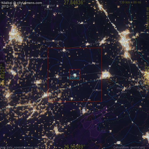
» Earth at Night: Flat Maps 2012, 2016