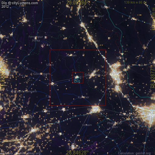
Dīg night lights from space
Night Light of Dīg (Rajasthan) from space (India) Src. Average luminocity for 10x10km area is 6.8532% and for 50x50km: 7.4206%.
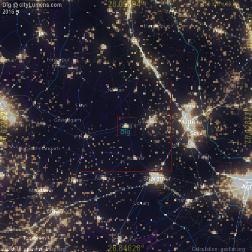
Analysis of Dīg night lights 2016
Square area 10x10 km:
100  0%
0%
90-99 0%
80-89 2.58%
70-79 1.79%
60-69 0.4%
50-59 1.59%
40-49 0.2%
30-39 1.59%
20-29 1.19%
10-19 0.99%
0-9 89.68%
0%90-99
0%80-89
2.58%70-79
1.79%60-69
0.4%50-59
1.59%40-49
0.2%30-39
1.59%20-29
1.19%10-19
0.99%0-9
89.68%Square area 50x50 km:
100 0.28%
90-99 0.6%
80-89 0.81%
70-79 0.48%
60-69 0.91%
50-59 1.47%
40-49 1.62%
30-39 1.92%
20-29 2.24%
10-19 6.93%
0-9 82.74%
0.28%90-99
0.6%80-89
0.81%70-79
0.48%60-69
0.91%50-59
1.47%40-49
1.62%30-39
1.92%20-29
2.24%10-19
6.93%0-9
82.74%Clear (daylight) street map image can be seen on geolist.org.
Map coordinates:
28° 5' 38.2" North, 76° 37' 21.1" East
27° 28' 18.8" North, 77° 19' 32.3" East
26° 50' 46.6" North, 78° 1' 43.6" East
Some cities around Dīg sort by population:
• Kāman
21.4 km =13.3 mi,  344°
344°
• Nagar
23 km =14.3 mi,  256°
256°
• Nādbai
30.5 km =19 mi,  204°
204°
• Kūmher
17.8 km =11.1 mi,  165°
165°
• Govardhan
13.8 km =8.6 mi,  78°
78°
• Nandgaon
27.3 km =17 mi,  12°
12°
• Barsāna
20.2 km =12.6 mi, 14°
• Rādhākund
17.3 km =10.7 mi,  70°
70°
1272639 (p: 43,486)
Sources (retrieved 2019-11-25):
» Earth at Night: Flat Maps 2012, 2016