Muzaffarnagar night lights from space
Night Light of Muzaffarnagar (Uttar Pradesh) from space (India) Src. Average luminocity for 10x10km area is 82.8542% and for 50x50km: 31.5627%.
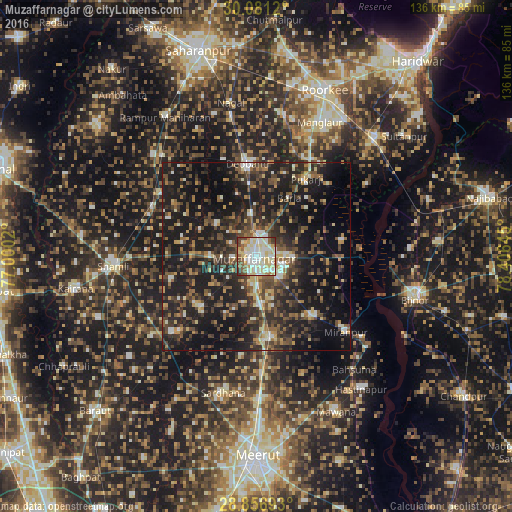

Analysis of Muzaffarnagar night lights 2016
Square area 10x10 km:
 19.7%
19.7%90-99
27.46%80-89
26.7%70-79
4.73%60-69
2.84%50-59
8.71%40-49
6.25%30-39
2.84%20-29
0.76%10-19
0%0-9
0%Square area 50x50 km:
1.94%90-99
3.95%80-89
3.44%70-79
2.96%60-69
4.08%50-59
5.38%40-49
8.66%30-39
7.3%20-29
13.4%10-19
32.52%0-9
16.35%Clear (daylight) street map image can be seen on geolist.org.
Map coordinates:
30° 4' 52.3" North, 77° 0' 0.7" East
29° 28' 15.3" North, 77° 42' 12" East
28° 51' 24.9" North, 78° 24' 23.2" East
Some cities around Muzaffarnagar sort by population:
• Deoband
25 km =15.5 mi,  354°
354°
• Khatauli
21.6 km =13.4 mi,  172°
172°
• Budhāna
30 km =18.6 mi,  227°
227°
• Thāna Bhawan
30.4 km =18.9 mi,  294°
294°
• Charthāwal
13.5 km =8.4 mi,  308°
308°
• Jānsath
21.6 km =13.4 mi,  138°
138°
• Shāhpur
19.9 km =12.4 mi, 227°
• Sisauli
23.6 km =14.7 mi,  254°
254°
1262332 (p: 349,706)
Sources (retrieved 2019-11-25):
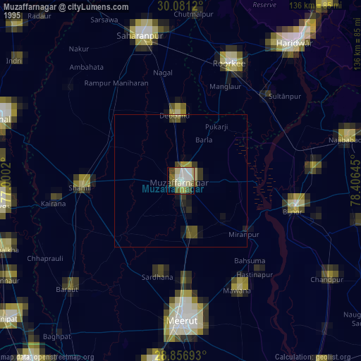
» NASA, Earths city lights 1995
» NASA city lights 2003
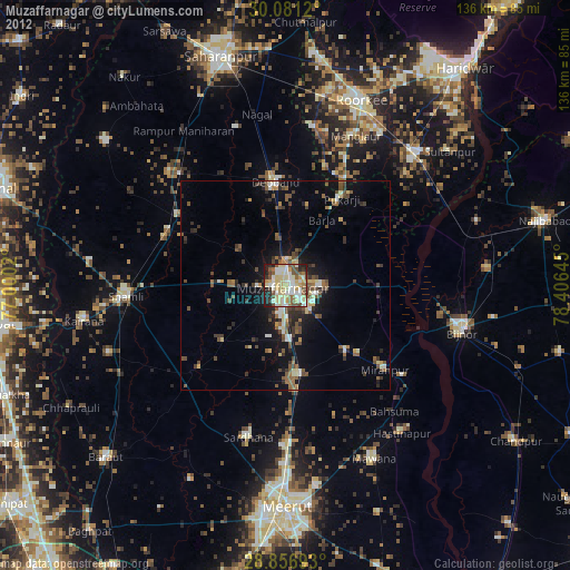
» Earth at Night: Flat Maps 2012, 2016