Deoband night lights from space
Night Light of Deoband (Uttar Pradesh) from space (India) Src. Average luminocity for 10x10km area is 46.002% and for 50x50km: 37.4466%.
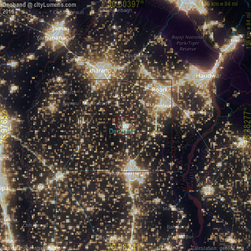
Analysis of Deoband night lights 2016
Square area 10x10 km:
 4.56%
4.56%90-99
8.33%80-89
3.37%70-79
1.39%60-69
9.13%50-59
8.53%40-49
17.46%30-39
9.52%20-29
26.39%10-19
11.31%0-9
0%Square area 50x50 km:
2.28%90-99
5.33%80-89
5.2%70-79
3.74%60-69
5.4%50-59
6.96%40-49
10.11%30-39
7.64%20-29
16.2%10-19
28.56%0-9
8.59%Clear (daylight) street map image can be seen on geolist.org.
Map coordinates:
30° 18' 14.3" North, 76° 58' 35.5" East
29° 41' 42.2" North, 77° 40' 46.7" East
29° 4' 56.7" North, 78° 22' 58" East
Some cities around Deoband sort by population:
• Muzaffarnagar
25 km =15.5 mi,  174°
174°
• Roorkee
27.9 km =17.3 mi,  46°
46°
• Manglaur
21.9 km =13.6 mi,  60°
60°
• Thāna Bhawan
28 km =17.4 mi,  244°
244°
• Rāmpur
25.2 km =15.7 mi,  299°
299°
• Jalālābad
24.8 km =15.4 mi,  249°
249°
• Charthāwal
18.4 km =11.4 mi,  206°
206°
• Nanauta
25.4 km =15.8 mi,  274°
274°
1273265 (p: 88,171)
Sources (retrieved 2019-11-25):
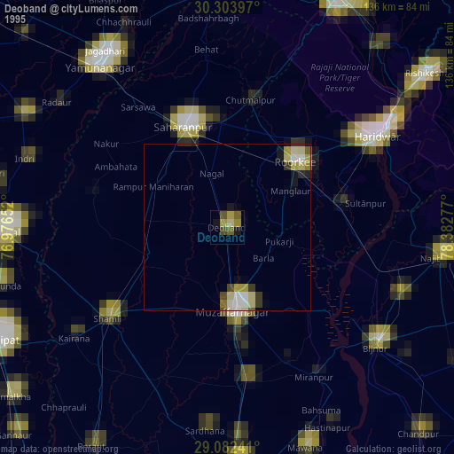
» NASA, Earths city lights 1995
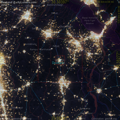
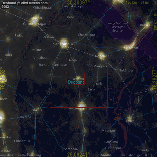
» NASA city lights 2003
» Earth at Night: Flat Maps 2012, 2016