Chinnamanūr night lights from space
Night Light of Chinnamanūr (Tamil Nadu) from space (India) Src. Average luminocity for 10x10km area is 2.6061% and for 50x50km: 2.1869%.
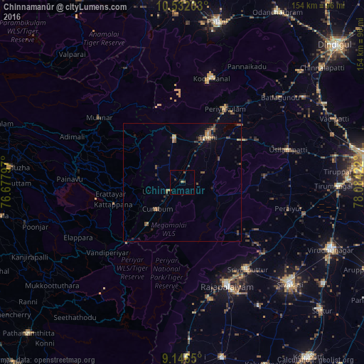
Analysis of Chinnamanūr night lights 2016
Square area 10x10 km:
 0%
0%90-99
0%80-89
0%70-79
0%60-69
0.87%50-59
1.08%40-49
1.95%30-39
0.43%20-29
0%10-19
0.43%0-9
95.24%Square area 50x50 km:
0.02%90-99
0.05%80-89
0.22%70-79
0.33%60-69
0.28%50-59
0.63%40-49
0.93%30-39
0.37%20-29
0.46%10-19
0.83%0-9
95.88%Clear (daylight) street map image can be seen on geolist.org.
Map coordinates:
10° 31' 55.3" North, 76° 40' 40.7" East
9° 50' 24" North, 77° 22' 51.9" East
9° 8' 47.4" North, 78° 5' 3.2" East
Some cities around Chinnamanūr sort by population:
• Teni
21.8 km =13.5 mi,  29°
29°
• Bodināyakkanūr
19.4 km =12.1 mi,  349°
349°
• Cumbum
15.6 km =9.7 mi,  222°
222°
• Gudalur
23 km =14.3 mi, 218°
• Āndippatti
31.6 km =19.6 mi,  56°
56°
• Uttamapālaiyam
7 km =4.3 mi,  238°
238°
• Elumalai
35 km =21.7 mi,  85°
85°
• Kombai
9.4 km =5.8 mi,  275°
275°
1274151 (p: 39,213)
Sources (retrieved 2019-11-25):
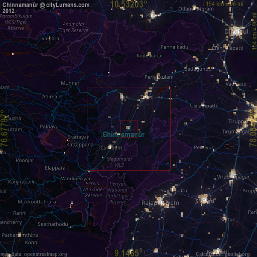
» Earth at Night: Flat Maps 2012, 2016