Jorhāt night lights from space
Night Light of Jorhāt (Assam) from space (India) Src. Average luminocity for 10x10km area is 38.75% and for 50x50km: 3.3376%.
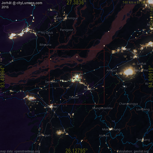
Analysis of Jorhāt night lights 2016
Square area 10x10 km:
 2.18%
2.18%90-99
6.75%80-89
4.76%70-79
7.94%60-69
6.94%50-59
5.36%40-49
9.72%30-39
4.56%20-29
12.1%10-19
23.21%0-9
16.47%Square area 50x50 km:
0.08%90-99
0.42%80-89
0.33%70-79
0.31%60-69
0.42%50-59
0.53%40-49
0.96%30-39
0.74%20-29
1.25%10-19
2.34%0-9
92.62%Clear (daylight) street map image can be seen on geolist.org.
Map coordinates:
27° 23' 1" North, 93° 29' 59.8" East
26° 45' 27" North, 94° 12' 11" East
26° 7' 40.6" North, 94° 54' 22.3" East
Some cities around Jorhāt sort by population:
• Sibsāgar
50 km =31.1 mi,  59°
59°
• Golāghāt
36.5 km =22.7 mi,  221°
221°
• Mariāni
15.8 km =9.8 mi,  135°
135°
• Dergaon
24.3 km =15.1 mi,  254°
254°
• Bihpuriāgaon
40.5 km =25.2 mi,  315°
315°
• Amguri
32.7 km =20.3 mi,  78°
78°
• Titābar
17.4 km =10.8 mi,  179°
179°
• Numāligarh
50.1 km =31.1 mi, 252°
1268820 (p: 69,033)
Sources (retrieved 2019-11-25):
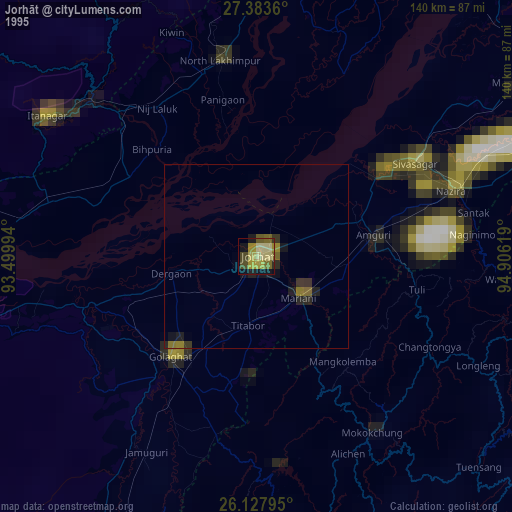
» NASA, Earths city lights 1995
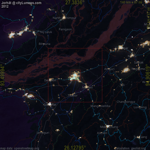
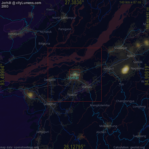
» NASA city lights 2003
» Earth at Night: Flat Maps 2012, 2016