Palwancha night lights from space
Night Light of Palwancha (Telangana) from space (India) Src. Average luminocity for 10x10km area is 54.4711% and for 50x50km: 7.579%.
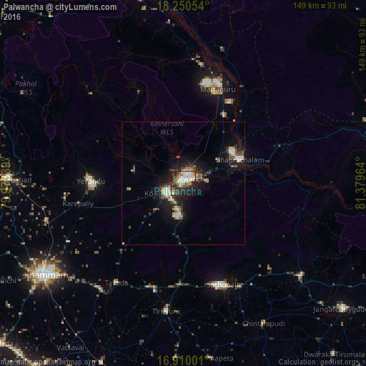
Analysis of Palwancha night lights 2016
Square area 10x10 km:
 10.54%
90-99
14.46%80-89
5.79%70-79
4.55%60-69
7.02%50-59
6.82%40-49
7.23%30-39
11.36%20-29
19.01%10-19
11.36%0-9
1.86%Square area 50x50 km:
0.76%90-99
1.41%80-89
0.87%70-79
0.5%60-69
0.89%50-59
1.02%40-49
1.32%30-39
1.49%20-29
2.47%10-19
6.16%0-9
83.11%Clear (daylight) street map image can be seen on geolist.org.
Map coordinates:
18° 15' 1.9" North, 79° 58' 24.2" East
17° 34' 53.5" North, 80° 40' 35.4" East
16° 54' 36" North, 81° 22' 46.7" East
Some cities around Palwancha sort by population:
• Khammam
67.6 km =42 mi,  236°
236°
• Kottagūdem
7.1 km =4.4 mi, 241°
• Pāloncha
3.8 km =2.4 mi,  53°
53°
• Bhadrāchalam
24.5 km =15.2 mi,  66°
66°
• Yellandu
37.6 km =23.4 mi,  271°
271°
• Sathupalli
42.2 km =26.2 mi,  151°
151°
• Manuguru
41.9 km =26 mi,  22°
22°
• Dornakal
58 km =36 mi,  254°
254°
7302847 (p: 68,561)
Sources (retrieved 2019-11-25):
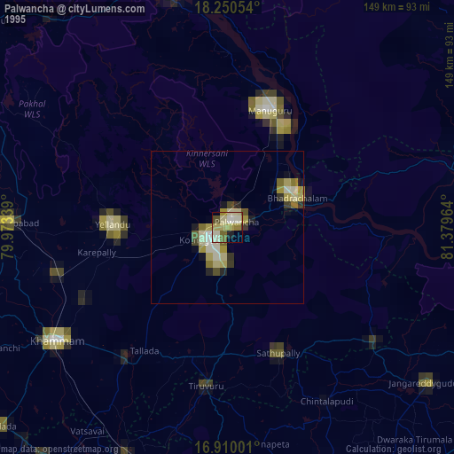
» NASA, Earths city lights 1995
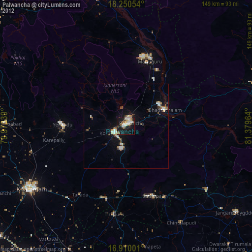
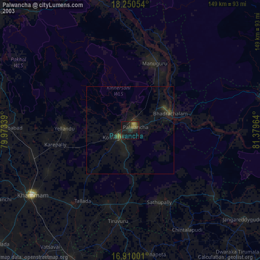
» NASA city lights 2003
» Earth at Night: Flat Maps 2012, 2016