Kottagūdem night lights from space
Night Light of Kottagūdem (Telangana) from space (India) Src. Average luminocity for 10x10km area is 42.6777% and for 50x50km: 6.5718%.
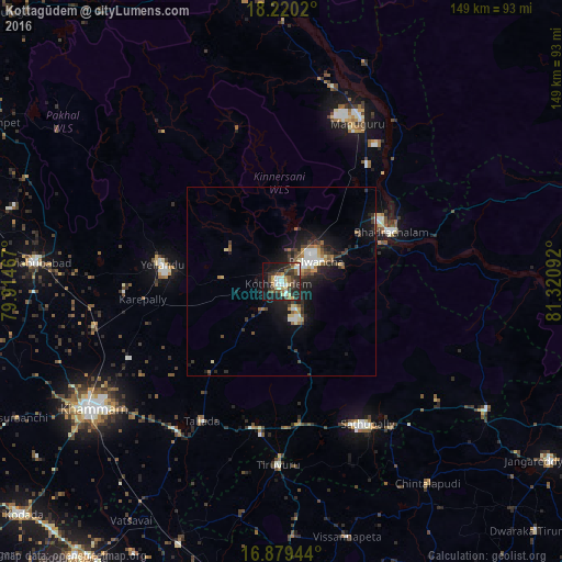
Analysis of Kottagūdem night lights 2016
Square area 10x10 km:
 2.89%
2.89%90-99
10.74%80-89
5.99%70-79
3.51%60-69
4.96%50-59
5.79%40-49
9.71%30-39
9.5%20-29
19.42%10-19
21.28%0-9
6.2%Square area 50x50 km:
0.58%90-99
1.19%80-89
0.7%70-79
0.48%60-69
0.77%50-59
0.84%40-49
1.16%30-39
1.41%20-29
2.34%10-19
5.49%0-9
85.04%Clear (daylight) street map image can be seen on geolist.org.
Map coordinates:
18° 13' 12.7" North, 79° 54' 52.8" East
17° 33' 3.8" North, 80° 37' 4" East
16° 52' 46" North, 81° 19' 15.3" East
Some cities around Kottagūdem sort by population:
• Khammam
60.6 km =37.7 mi,  236°
236°
• Pāloncha
10.8 km =6.7 mi,  58°
58°
• Palwancha
7.1 km =4.4 mi, 61°
• Bhadrāchalam
31.6 km =19.6 mi,  65°
65°
• Yellandu
31.7 km =19.7 mi,  277°
277°
• Sathupalli
42.8 km =26.6 mi,  141°
141°
• Manuguru
47.6 km =29.6 mi,  27°
27°
• Dornakal
51.1 km =31.8 mi,  256°
256°
1265938 (p: 79,247)
Sources (retrieved 2019-11-25):
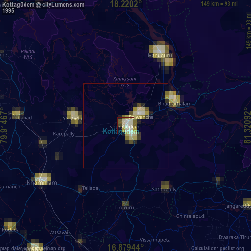
» NASA, Earths city lights 1995
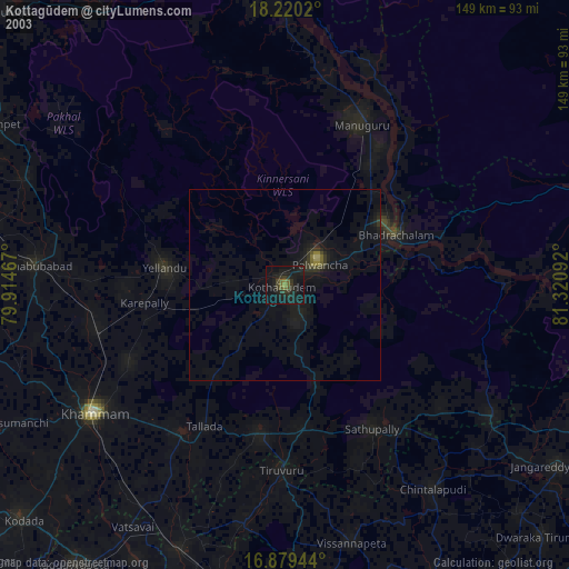
» NASA city lights 2003
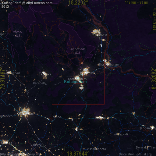
» Earth at Night: Flat Maps 2012, 2016