Pāloncha night lights from space
Night Light of Pāloncha (Telangana) from space (India) Src. Average luminocity for 10x10km area is 55.8616% and for 50x50km: 7.6678%.
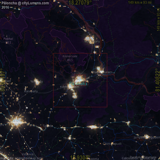
Analysis of Pāloncha night lights 2016
Square area 10x10 km:
 11.36%
90-99
14.88%80-89
5.17%70-79
5.79%60-69
8.06%50-59
7.23%40-49
7.23%30-39
8.26%20-29
15.91%10-19
15.5%0-9
0.62%Square area 50x50 km:
0.76%90-99
1.42%80-89
0.88%70-79
0.5%60-69
0.88%50-59
1.02%40-49
1.31%30-39
1.49%20-29
2.48%10-19
6.29%0-9
82.98%Clear (daylight) street map image can be seen on geolist.org.
Map coordinates:
18° 16' 14.8" North, 80° 0' 7.1" East
17° 36' 6.6" North, 80° 42' 18.3" East
16° 55' 49.4" North, 81° 24' 29.6" East
Some cities around Pāloncha sort by population:
• Khammam
71.4 km =44.4 mi,  236°
236°
• Kottagūdem
10.8 km =6.7 mi, 238°
• Palwancha
3.8 km =2.4 mi,  233°
233°
• Bhadrāchalam
20.8 km =12.9 mi,  69°
69°
• Yellandu
40.7 km =25.3 mi,  268°
268°
• Sathupalli
42.8 km =26.6 mi,  156°
156°
• Manuguru
38.7 km =24 mi,  19°
19°
• Dornakal
61.5 km =38.2 mi,  253°
253°
1260667 (p: 75,224)
Sources (retrieved 2019-11-25):
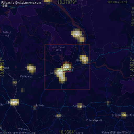
» NASA, Earths city lights 1995
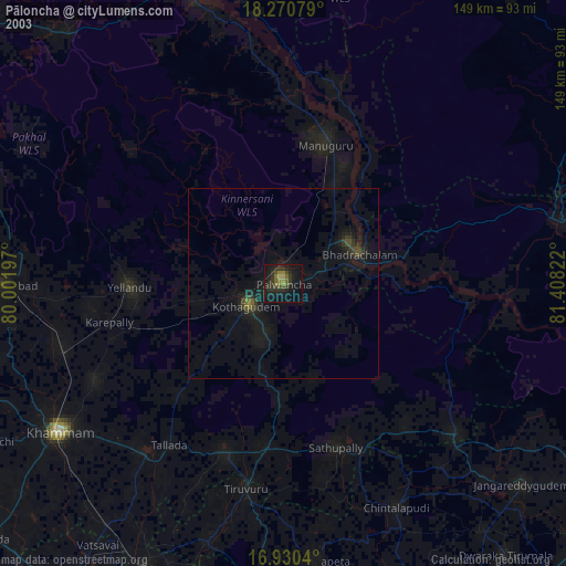
» NASA city lights 2003
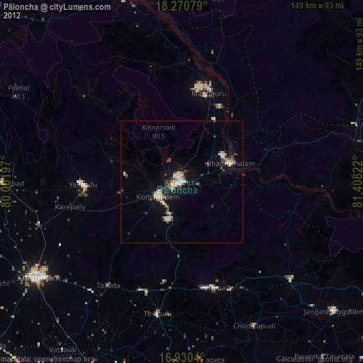
» Earth at Night: Flat Maps 2012, 2016