Jaipur night lights from space
Night Light of Jaipur (Rajasthan) from space (India) Src. Average luminocity for 10x10km area is 99.2877% and for 50x50km: 52.3649%.
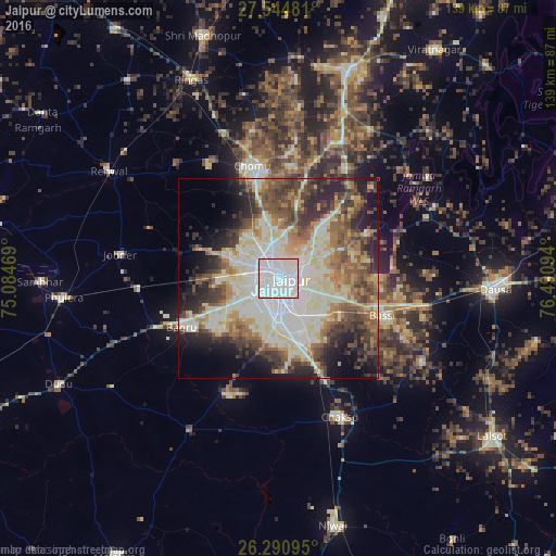
Analysis of Jaipur night lights 2016
Square area 10x10 km:
 78.37%
90-99
19.84%80-89
1.79%70-79
0%60-69
0%50-59
0%40-49
0%30-39
0%20-29
0%10-19
0%0-9
0%Square area 50x50 km:
10.4%90-99
13.23%80-89
9.24%70-79
4.55%60-69
6.51%50-59
7.38%40-49
7.82%30-39
7.02%20-29
9.22%10-19
8.82%0-9
15.81%Clear (daylight) street map image can be seen on geolist.org.
Map coordinates:
27° 32' 41.3" North, 75° 5' 4.9" East
26° 55' 10.6" North, 75° 47' 16.1" East
26° 17' 27.4" North, 76° 29' 27.4" East
Some cities around Jaipur sort by population:
• Dausa
54.4 km =33.8 mi,  93°
93°
• Shāhpura
55.1 km =34.2 mi,  17°
17°
• Chaksu
38.4 km =23.9 mi,  155°
155°
• Manoharpur
45 km =28 mi, 20°
• Rīngas
53.9 km =33.5 mi,  336°
336°
• Phulera
54.4 km =33.8 mi,  264°
264°
• Basi
27.7 km =17.2 mi,  110°
110°
• Jobner
40.1 km =24.9 mi,  278°
278°
1269515 (p: 2,711,758)
Sources (retrieved 2019-11-25):
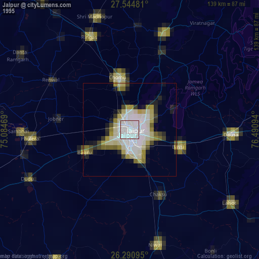
» NASA, Earths city lights 1995
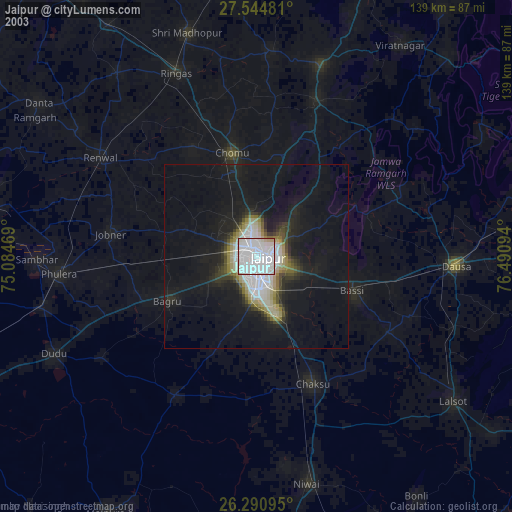
» NASA city lights 2003
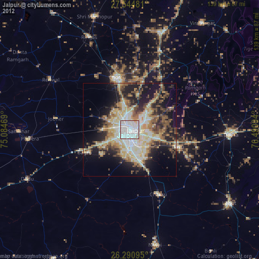
» Earth at Night: Flat Maps 2012, 2016