Manāsa night lights from space
Night Light of Manāsa (Madhya Pradesh) from space (India) Src. Average luminocity for 10x10km area is 16.879% and for 50x50km: 4.8081%.
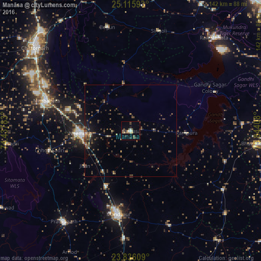
Analysis of Manāsa night lights 2016
Square area 10x10 km:
 1.19%
1.19%90-99
1.59%80-89
3.17%70-79
0.6%60-69
0.99%50-59
3.37%40-49
4.96%30-39
4.56%20-29
1.39%10-19
4.17%0-9
74.01%Square area 50x50 km:
0.06%90-99
0.28%80-89
0.36%70-79
0.33%60-69
0.54%50-59
1.16%40-49
1.33%30-39
2.05%20-29
1.43%10-19
2.38%0-9
90.07%Clear (daylight) street map image can be seen on geolist.org.
Map coordinates:
25° 6' 57.3" North, 74° 26' 16.2" East
24° 28' 39.5" North, 75° 8' 27.4" East
23° 50' 9.9" North, 75° 50' 38.7" East
Some cities around Manāsa sort by population:
• Mandsaur
45.7 km =28.4 mi,  189°
189°
• Rāmpura
30.3 km =18.8 mi,  92°
92°
• Chhoti Sādri
45.8 km =28.5 mi,  256°
256°
• Jāwad
31.2 km =19.4 mi,  295°
295°
• Jīran
31.5 km =19.6 mi,  233°
233°
• Nārāyangarh
24.8 km =15.4 mi,  201°
201°
• Malhārgarh
26.5 km =16.5 mi,  215°
215°
• Ratangarh
37.8 km =23.5 mi,  356°
356°
1263949 (p: 24,078)
Sources (retrieved 2019-11-25):
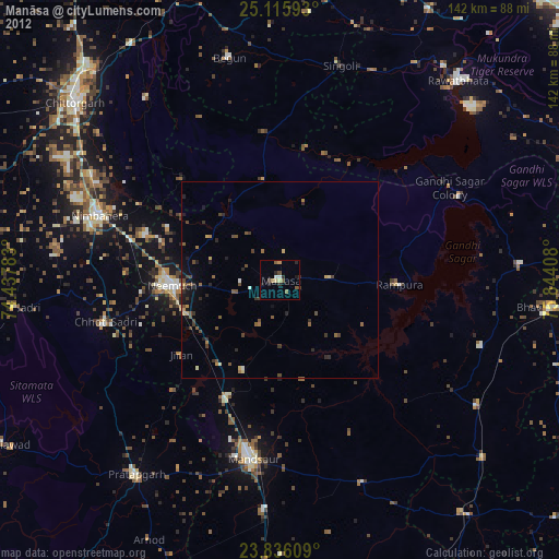
» Earth at Night: Flat Maps 2012, 2016