Chaklāsi night lights from space
Night Light of Chaklāsi (Gujarat) from space (India) Src. Average luminocity for 10x10km area is 47.2857% and for 50x50km: 26.2195%.
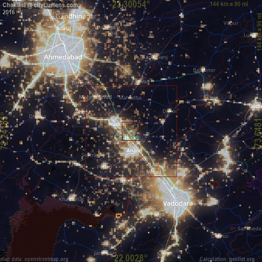
Analysis of Chaklāsi night lights 2016
Square area 10x10 km:
 0%
0%90-99
4.56%80-89
4.56%70-79
4.56%60-69
10.71%50-59
22.62%40-49
18.85%30-39
9.92%20-29
13.1%10-19
10.71%0-9
0.4%Square area 50x50 km:
0.74%90-99
3.66%80-89
2.62%70-79
2.38%60-69
5.08%50-59
6.53%40-49
6.45%30-39
7.03%20-29
9.7%10-19
16.68%0-9
39.12%Clear (daylight) street map image can be seen on geolist.org.
Map coordinates:
23° 18' 1.9" North, 72° 14' 30.7" East
22° 39' 11.5" North, 72° 56' 41.9" East
22° 0' 10.1" North, 73° 38' 53.2" East
Some cities around Chaklāsi sort by population:
• Nadiād
9.7 km =6 mi,  297°
297°
• Anand
11.2 km =7 mi,  174°
174°
• Umreth
18.2 km =11.3 mi,  73°
73°
• Vallabh Vidyanagar
14.1 km =8.8 mi,  199°
199°
• Karamsad
13 km =8.1 mi, 198°
• Dākor
23.7 km =14.7 mi,  62°
62°
• Mahudha
18.6 km =11.6 mi,  358°
358°
• Vasa
19.5 km =12.1 mi,  272°
272°
1274896 (p: 38,435)
Sources (retrieved 2019-11-25):
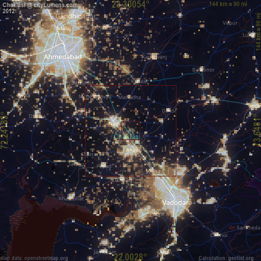
» Earth at Night: Flat Maps 2012, 2016