Ilkal night lights from space
Night Light of Ilkal (Karnataka) from space (India) Src. Average luminocity for 10x10km area is 24.8636% and for 50x50km: 4.4277%.
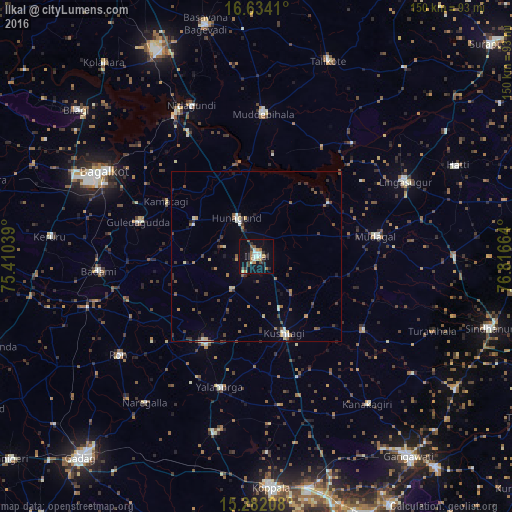
Analysis of Ilkal night lights 2016
Square area 10x10 km:
 1.86%
1.86%90-99
4.75%80-89
3.51%70-79
2.07%60-69
4.75%50-59
2.89%40-49
2.89%30-39
3.93%20-29
3.1%10-19
24.17%0-9
46.07%Square area 50x50 km:
0.24%90-99
0.59%80-89
0.47%70-79
0.36%60-69
0.66%50-59
0.79%40-49
0.73%30-39
1.07%20-29
0.78%10-19
1.56%0-9
92.76%Clear (daylight) street map image can be seen on geolist.org.
Map coordinates:
16° 38' 2.8" North, 75° 24' 37.4" East
15° 57' 33.2" North, 76° 6' 48.6" East
15° 16' 55.5" North, 76° 48' 59.9" East
Some cities around Ilkal sort by population:
• Guledagudda
36 km =22.4 mi,  286°
286°
• Muddebihāl
42.1 km =26.2 mi,  2°
2°
• Gajendragarh
29.2 km =18.1 mi,  211°
211°
• Bādāmi
46.9 km =29.1 mi,  263°
263°
• Kushtagi
24 km =14.9 mi,  159°
159°
• Mudgal
35.6 km =22.1 mi,  80°
80°
• Hungund
12.9 km =8 mi,  332°
332°
• Yelbarga
39.7 km =24.7 mi,  195°
195°
1269784 (p: 56,937)
Sources (retrieved 2019-11-25):
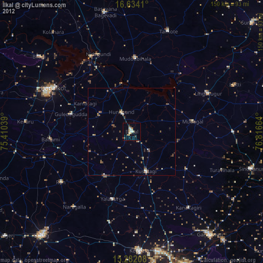
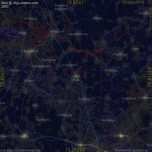
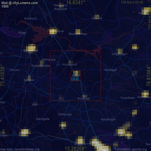
» NASA, Earths city lights 1995
» NASA city lights 2003
» Earth at Night: Flat Maps 2012, 2016