Muddebihāl night lights from space
Night Light of Muddebihāl (Karnataka) from space (India) Src. Average luminocity for 10x10km area is 10.2934% and for 50x50km: 2.4974%.
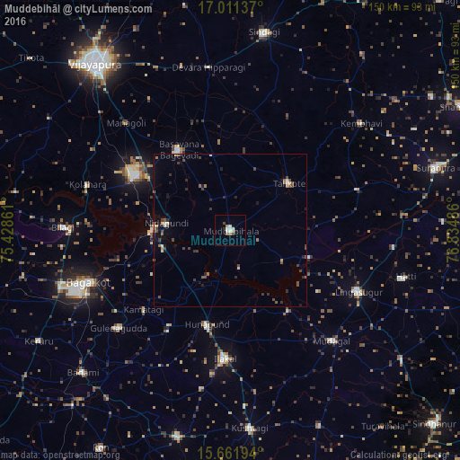
Analysis of Muddebihāl night lights 2016
Square area 10x10 km:
 1.65%
1.65%90-99
3.31%80-89
0%70-79
1.65%60-69
1.03%50-59
0.62%40-49
0.83%30-39
1.45%20-29
0.21%10-19
0.83%0-9
88.43%Square area 50x50 km:
0.21%90-99
0.3%80-89
0.06%70-79
0.17%60-69
0.37%50-59
0.44%40-49
0.66%30-39
0.57%20-29
0.45%10-19
1.03%0-9
95.74%Clear (daylight) street map image can be seen on geolist.org.
Map coordinates:
17° 0' 40.9" North, 75° 25' 43" East
16° 20' 16.2" North, 76° 7' 54.2" East
15° 39' 43" North, 76° 50' 5.5" East
Some cities around Muddebihāl sort by population:
• Bagalkot
49.4 km =30.7 mi,  250°
250°
• Ilkal
42.1 km =26.2 mi,  182°
182°
• Guledagudda
48.5 km =30.1 mi,  228°
228°
• Basavana Bāgevādi
31.2 km =19.4 mi,  326°
326°
• Lingsugūr
46.1 km =28.6 mi,  115°
115°
• Tālīkota
24.3 km =15.1 mi,  51°
51°
• Mudgal
49.1 km =30.5 mi,  137°
137°
• Hungund
31.6 km =19.6 mi,  194°
194°
1262669 (p: 31,895)
Sources (retrieved 2019-11-25):
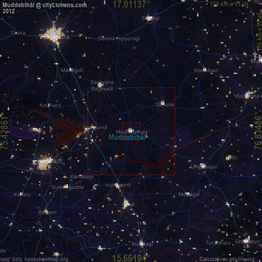
» Earth at Night: Flat Maps 2012, 2016