Kushtagi night lights from space
Night Light of Kushtagi (Karnataka) from space (India) Src. Average luminocity for 10x10km area is 13.9286% and for 50x50km: 5.004%.
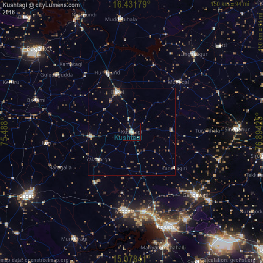
Analysis of Kushtagi night lights 2016
Square area 10x10 km:
 1.3%
1.3%90-99
2.81%80-89
2.16%70-79
1.52%60-69
1.73%50-59
1.52%40-49
1.08%30-39
0.43%20-29
1.3%10-19
2.16%0-9
83.98%Square area 50x50 km:
0.23%90-99
0.63%80-89
0.51%70-79
0.54%60-69
0.84%50-59
0.74%40-49
0.98%30-39
1.08%20-29
1.04%10-19
1.57%0-9
91.83%Clear (daylight) street map image can be seen on geolist.org.
Map coordinates:
16° 25' 54.4" North, 75° 29' 16.8" East
15° 45' 22.4" North, 76° 11' 28" East
15° 4' 42.3" North, 76° 53' 39.3" East
Some cities around Kushtagi sort by population:
• Koppal
45.9 km =28.5 mi,  184°
184°
• Ilkal
24 km =14.9 mi,  339°
339°
• Gajendragarh
23.8 km =14.8 mi,  264°
264°
• Ron
49.3 km =30.6 mi, 262°
• Mudgal
39.1 km =24.3 mi,  43°
43°
• Hungund
36.8 km =22.9 mi, 337°
• Naregal
45.8 km =28.5 mi,  243°
243°
• Yelbarga
24.8 km =15.4 mi,  230°
230°
1265446 (p: 24,180)
Sources (retrieved 2019-11-25):
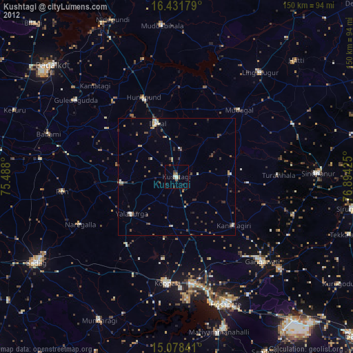
» Earth at Night: Flat Maps 2012, 2016