Amreli night lights from space
Night Light of Amreli (Gujarat) from space (India) Src. Average luminocity for 10x10km area is 30.2045% and for 50x50km: 2.9735%.
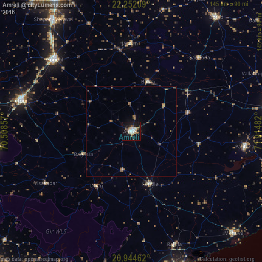
Analysis of Amreli night lights 2016
Square area 10x10 km:
 2.08%
2.08%90-99
9.09%80-89
3.98%70-79
3.22%60-69
3.6%50-59
1.7%40-49
4.92%30-39
2.46%20-29
3.03%10-19
36.55%0-9
29.36%Square area 50x50 km:
0.09%90-99
0.42%80-89
0.22%70-79
0.35%60-69
0.49%50-59
0.45%40-49
0.65%30-39
0.45%20-29
0.87%10-19
2.24%0-9
93.77%Clear (daylight) street map image can be seen on geolist.org.
Map coordinates:
22° 15' 7.5" North, 70° 30' 30.9" East
21° 35' 59.4" North, 71° 12' 42.1" East
20° 56' 40.6" North, 71° 54' 53.4" East
Some cities around Amreli sort by population:
• Kundla
30.3 km =18.8 mi,  161°
161°
• Savarkundla
30.7 km =19.1 mi, 161°
• Bagasra
29.3 km =18.2 mi,  244°
244°
• Dhāri
35.7 km =22.2 mi,  212°
212°
• Lāthi
22.8 km =14.2 mi,  53°
53°
• Bābra
29 km =18 mi,  19°
19°
• Dāmnagar
33.2 km =20.6 mi,  71°
71°
• Chalāla
21.5 km =13.4 mi,  192°
192°
1278715 (p: 99,742)
Sources (retrieved 2019-11-25):
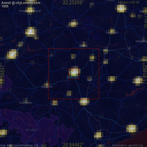
» NASA, Earths city lights 1995
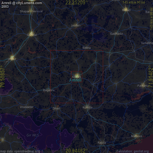
» NASA city lights 2003
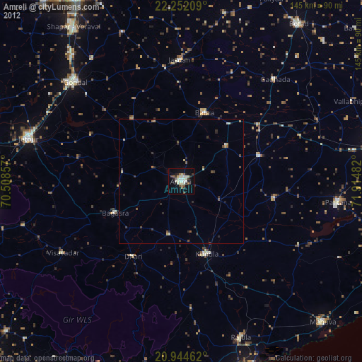
» Earth at Night: Flat Maps 2012, 2016