Kuchaiburi night lights from space
Night Light of Kuchaiburi (Odisha) from space (India) Src. Average luminocity for 10x10km area is 22.7689% and for 50x50km: 1.6841%.
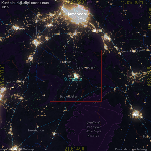
Analysis of Kuchaiburi night lights 2016
Square area 10x10 km:
 0.19%
0.19%90-99
4.73%80-89
3.41%70-79
4.36%60-69
0.95%50-59
3.79%40-49
2.27%30-39
5.3%20-29
6.25%10-19
16.1%0-9
52.65%Square area 50x50 km:
0.02%90-99
0.22%80-89
0.18%70-79
0.22%60-69
0.1%50-59
0.4%40-49
0.3%30-39
0.53%20-29
0.53%10-19
0.86%0-9
96.65%Clear (daylight) street map image can be seen on geolist.org.
Map coordinates:
22° 54' 57.3" North, 85° 28' 14.6" East
22° 16' 0.3" North, 86° 10' 25.9" East
21° 36' 52.4" North, 86° 52' 37.1" East
Some cities around Kuchaiburi sort by population:
• Chāībāsa
49.5 km =30.8 mi,  309°
309°
• Jugsālai
56.7 km =35.2 mi,  1°
1°
• Ghātsīla
47.2 km =29.3 mi,  41°
41°
• Mushābani
39.8 km =24.7 mi,  46°
46°
• Gobindpur
42.2 km =26.2 mi,  345°
345°
• Saraikela
54.2 km =33.7 mi,  332°
332°
• Jagannāthpur
55.3 km =34.4 mi,  264°
264°
• Gopināthpur
45.2 km =28.1 mi, 347°
1265830 (p: 23,072)
Sources (retrieved 2019-11-25):
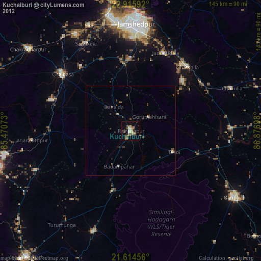
» Earth at Night: Flat Maps 2012, 2016