Ghātsīla night lights from space
Night Light of Ghātsīla (Jharkhand) from space (India) Src. Average luminocity for 10x10km area is 36.7197% and for 50x50km: 10.0618%.
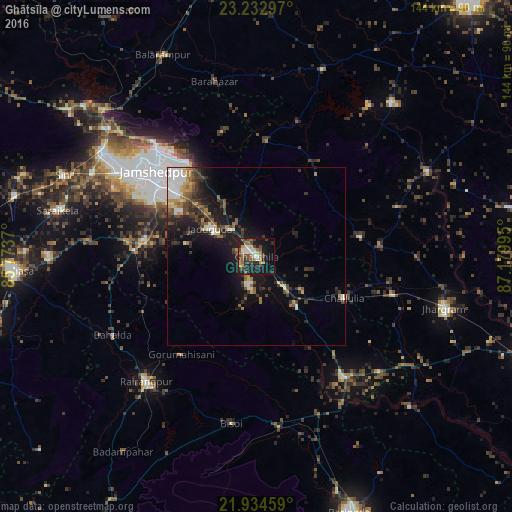
Analysis of Ghātsīla night lights 2016
Square area 10x10 km:
 4.17%
4.17%90-99
5.3%80-89
2.84%70-79
4.92%60-69
6.44%50-59
5.68%40-49
8.33%30-39
7.77%20-29
11.93%10-19
28.6%0-9
14.02%Square area 50x50 km:
1.25%90-99
1.65%80-89
0.89%70-79
0.86%60-69
1.38%50-59
1.33%40-49
1.84%30-39
2.4%20-29
2.83%10-19
7.94%0-9
77.63%Clear (daylight) street map image can be seen on geolist.org.
Map coordinates:
23° 13' 58.7" North, 85° 46' 25.3" East
22° 35' 7.1" North, 86° 28' 36.6" East
21° 56' 4.5" North, 87° 10' 47.8" East
Some cities around Ghātsīla sort by population:
• Jamshedpur
38.4 km =23.9 mi,  308°
308°
• Jugsālai
36.9 km =22.9 mi, 305°
• Mushābani
8.5 km =5.3 mi,  193°
193°
• Gobindpur
41.9 km =26 mi,  277°
277°
• Kuchaiburi
47.2 km =29.3 mi,  221°
221°
• Chākuliā
27.2 km =16.9 mi,  114°
114°
• Kāndra
52.7 km =32.7 mi,  304°
304°
• Gopināthpur
42.1 km =26.2 mi, 281°
1271319 (p: 40,018)
Sources (retrieved 2019-11-25):
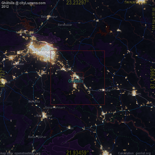
» Earth at Night: Flat Maps 2012, 2016