Jugsālai night lights from space
Night Light of Jugsālai (Jharkhand) from space (India) Src. Average luminocity for 10x10km area is 98.4087% and for 50x50km: 29.5702%.
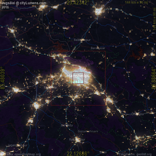
Analysis of Jugsālai night lights 2016
Square area 10x10 km:
 68.25%
90-99
26.59%80-89
2.98%70-79
1.98%60-69
0.2%50-59
0%40-49
0%30-39
0%20-29
0%10-19
0%0-9
0%Square area 50x50 km:
6.07%90-99
5.61%80-89
2.34%70-79
2.63%60-69
2.88%50-59
4.5%40-49
5.63%30-39
6%20-29
8.51%10-19
15.41%0-9
40.41%Clear (daylight) street map image can be seen on geolist.org.
Map coordinates:
23° 25' 24.3" North, 85° 28' 49.4" East
22° 46' 36" North, 86° 11' 0.6" East
22° 7' 36.7" North, 86° 53' 11.9" East
Some cities around Jugsālai sort by population:
• Jamshedpur
2.9 km =1.8 mi,  3°
3°
• Gobindpur
19.6 km =12.2 mi,  215°
215°
• Balarāmpur
35.9 km =22.3 mi,  6°
6°
• Saraikela
27.2 km =16.9 mi,  251°
251°
• Kharsāwān
36.2 km =22.5 mi,  272°
272°
• Kāndra
15.9 km =9.9 mi,  301°
301°
• Sini
24.5 km =15.2 mi, 274°
• Gopināthpur
16.8 km =10.4 mi, 221°
1268799 (p: 49,410)
Sources (retrieved 2019-11-25):
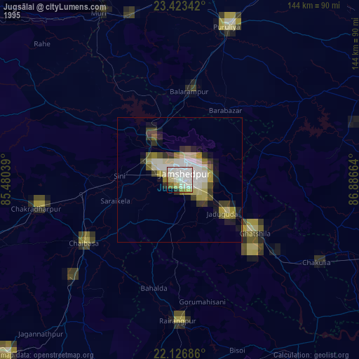
» NASA, Earths city lights 1995
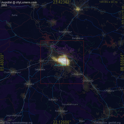
» NASA city lights 2003
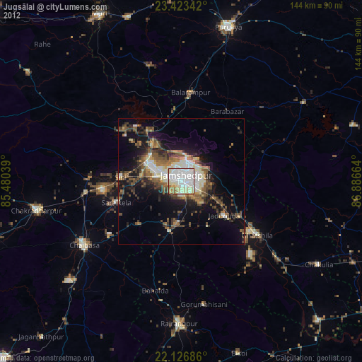
» Earth at Night: Flat Maps 2012, 2016