Moga night lights from space
Night Light of Moga (Punjab) from space (India) Src. Average luminocity for 10x10km area is 49.9231% and for 50x50km: 13.909%.
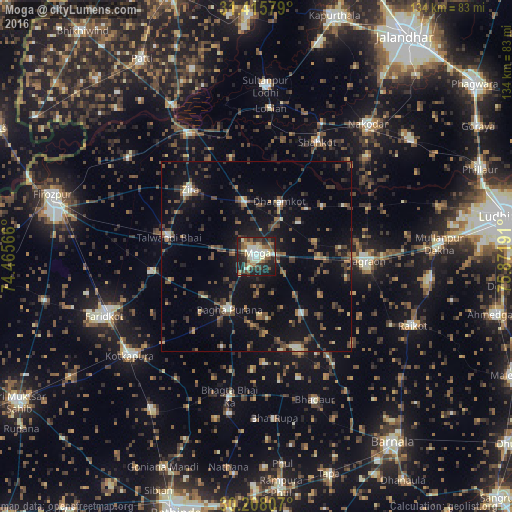
Analysis of Moga night lights 2016
Square area 10x10 km:
 5.77%
5.77%90-99
13.11%80-89
7.87%70-79
3.5%60-69
6.64%50-59
7.17%40-49
6.29%30-39
11.19%20-29
18.36%10-19
19.76%0-9
0.35%Square area 50x50 km:
0.47%90-99
1.55%80-89
0.95%70-79
0.77%60-69
1.79%50-59
2.49%40-49
3.93%30-39
3.53%20-29
3.73%10-19
11.55%0-9
69.24%Clear (daylight) street map image can be seen on geolist.org.
Map coordinates:
31° 24' 56.8" North, 74° 27' 56.4" East
30° 48' 49.8" North, 75° 10' 7.6" East
30° 12' 29.1" North, 75° 52' 18.9" East
Some cities around Moga sort by population:
• Jagraon
29.3 km =18.2 mi,  95°
95°
• Zira
24.2 km =15 mi,  315°
315°
• Bāgha Purāna
15.5 km =9.6 mi,  205°
205°
• Talwandi Bhai
23.3 km =14.5 mi,  281°
281°
• Shāhkot
33.8 km =21 mi,  28°
28°
• Makhu
36.1 km =22.4 mi,  332°
332°
• Kot Īsa Khān
15.1 km =9.4 mi,  348°
348°
• Badhni Kalān
18.8 km =11.7 mi,  141°
141°
1262951 (p: 130,549)
Sources (retrieved 2019-11-25):
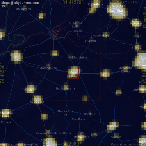
» NASA, Earths city lights 1995
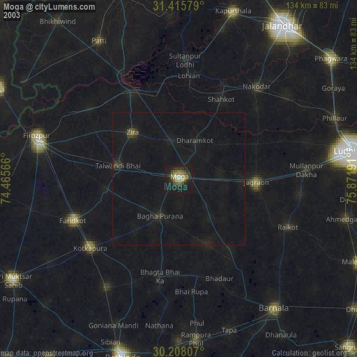
» NASA city lights 2003
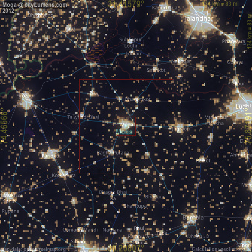
» Earth at Night: Flat Maps 2012, 2016