Kotdwāra night lights from space
Night Light of Kotdwāra (Uttarakhand) from space (India) Src. Average luminocity for 10x10km area is 21.6111% and for 50x50km: 6.7916%.
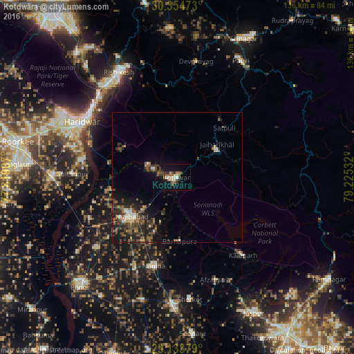
Analysis of Kotdwāra night lights 2016
Square area 10x10 km:
 1.79%
1.79%90-99
3.37%80-89
3.37%70-79
1.79%60-69
4.17%50-59
4.56%40-49
2.78%30-39
2.58%20-29
1.39%10-19
19.44%0-9
54.76%Square area 50x50 km:
0.34%90-99
0.83%80-89
0.61%70-79
0.32%60-69
1.06%50-59
1.56%40-49
2.13%30-39
1.61%20-29
2.46%10-19
4.77%0-9
84.31%Clear (daylight) street map image can be seen on geolist.org.
Map coordinates:
30° 21' 17" North, 77° 49' 8.7" East
29° 44' 46" North, 78° 31' 19.9" East
29° 8' 1.6" North, 79° 13' 31.2" East
Some cities around Kotdwāra sort by population:
• Haridwar
41.5 km =25.8 mi,  302°
302°
• Najībābād
22.9 km =14.2 mi,  229°
229°
• Nagīna
34.6 km =21.5 mi,  193°
193°
• Kīratpur
40.5 km =25.2 mi, 228°
• Kālāgarh Project Colony
39.2 km =24.4 mi,  139°
139°
• Sultānpur
39.8 km =24.7 mi,  271°
271°
• Lansdowne
18.6 km =11.6 mi,  55°
55°
• Rāīwāla Bara
41.4 km =25.7 mi,  317°
317°
1266014 (p: 27,009)
Sources (retrieved 2019-11-25):
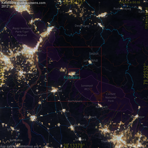
» Earth at Night: Flat Maps 2012, 2016