Kolāras night lights from space
Night Light of Kolāras (Madhya Pradesh) from space (India) Src. Average luminocity for 10x10km area is 14.871% and for 50x50km: 4.2051%.
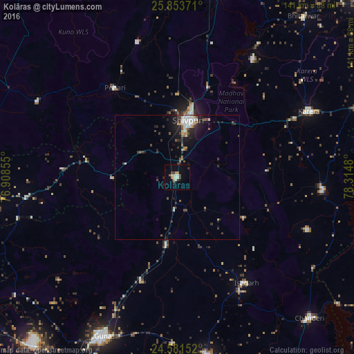
Analysis of Kolāras night lights 2016
Square area 10x10 km:
 0.2%
0.2%90-99
4.76%80-89
2.58%70-79
0.4%60-69
2.18%50-59
0.2%40-49
2.98%30-39
2.18%20-29
0.4%10-19
2.18%0-9
81.94%Square area 50x50 km:
0.45%90-99
0.94%80-89
0.32%70-79
0.22%60-69
0.4%50-59
0.5%40-49
0.72%30-39
0.87%20-29
1.33%10-19
2.69%0-9
91.55%Clear (daylight) street map image can be seen on geolist.org.
Map coordinates:
25° 51' 13.4" North, 76° 54' 30.8" East
25° 13' 9.4" North, 77° 36' 42" East
24° 34' 53.5" North, 78° 18' 53.3" East
Some cities around Kolāras sort by population:
• Shivpuri
23.3 km =14.5 mi,  12°
12°
• Guna
70.5 km =43.8 mi,  205°
205°
• Bāmor Kalān
65.3 km =40.6 mi,  123°
123°
• Karera
59 km =36.7 mi,  63°
63°
• Narwar
56.1 km =34.9 mi,  32°
32°
• Badarwās
27.5 km =17.1 mi,  189°
189°
• Isāgarh
50.3 km =31.3 mi,  147°
147°
• Bijrauni
32 km =19.9 mi,  174°
174°
1266302 (p: 17,174)
Sources (retrieved 2019-11-25):
» Earth at Night: Flat Maps 2012, 2016