Shivpuri night lights from space
Night Light of Shivpuri (Madhya Pradesh) from space (India) Src. Average luminocity for 10x10km area is 55.1786% and for 50x50km: 5.2621%.
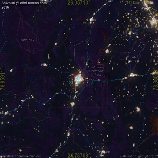

Analysis of Shivpuri night lights 2016
Square area 10x10 km:
 12.5%
12.5%90-99
21.63%80-89
3.17%70-79
1.19%60-69
4.37%50-59
5.75%40-49
4.76%30-39
6.55%20-29
22.02%10-19
17.66%0-9
0.4%Square area 50x50 km:
0.56%90-99
1.18%80-89
0.39%70-79
0.28%60-69
0.54%50-59
0.68%40-49
0.77%30-39
1.01%20-29
1.85%10-19
3.75%0-9
88.98%Clear (daylight) street map image can be seen on geolist.org.
Map coordinates:
26° 3' 25.7" North, 76° 57' 32.8" East
25° 25' 25.6" North, 77° 39' 44" East
24° 47' 13.5" North, 78° 21' 55.3" East
Some cities around Shivpuri sort by population:
• Bāmor Kalān
76.8 km =47.7 mi,  140°
140°
• Karera
47.7 km =29.6 mi,  85°
85°
• Bhitarwār
60.8 km =37.8 mi,  47°
47°
• Kolāras
23.3 km =14.5 mi,  192°
192°
• Narwar
35.1 km =21.8 mi, 45°
• Badarwās
50.8 km =31.6 mi, 191°
• Isāgarh
68.7 km =42.7 mi,  161°
161°
• Bijrauni
54.6 km =33.9 mi,  181°
181°
1256451 (p: 164,215)
Sources (retrieved 2019-11-25):
» NASA, Earths city lights 1995
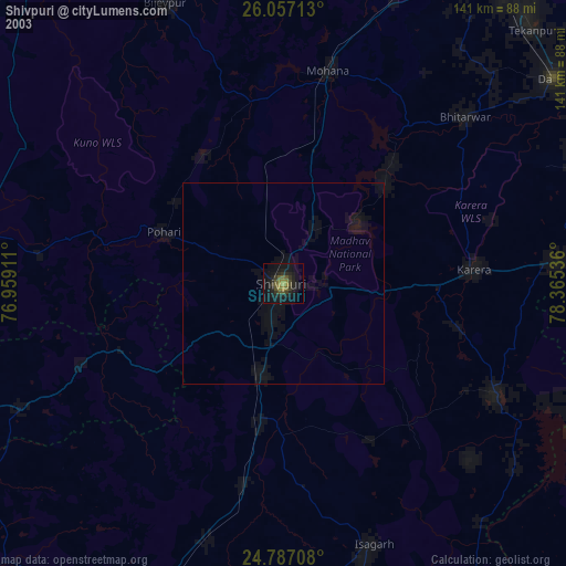
» NASA city lights 2003
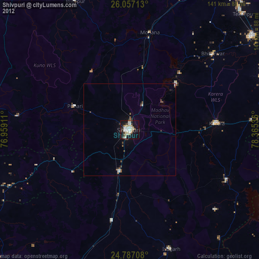
» Earth at Night: Flat Maps 2012, 2016