Vadigenhalli night lights from space
Night Light of Vadigenhalli (Karnataka) from space (India) Src. Average luminocity for 10x10km area is 44.1198% and for 50x50km: 35.1731%.
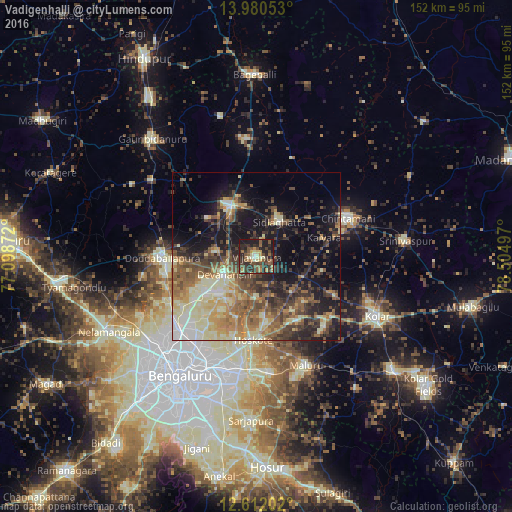
Analysis of Vadigenhalli night lights 2016
Square area 10x10 km:
 1.24%
1.24%90-99
3.51%80-89
7.23%70-79
6.61%60-69
4.55%50-59
12.81%40-49
11.16%30-39
17.98%20-29
19.83%10-19
15.08%0-9
0%Square area 50x50 km:
2.25%90-99
6.48%80-89
6.51%70-79
4.36%60-69
5.43%50-59
7.56%40-49
6.96%30-39
6.43%20-29
8.1%10-19
15.87%0-9
30.03%Clear (daylight) street map image can be seen on geolist.org.
Map coordinates:
13° 58' 49.9" North, 77° 5' 55.4" East
13° 17' 50.1" North, 77° 48' 6.6" East
12° 36' 43.3" North, 78° 30' 17.9" East
Some cities around Vadigenhalli sort by population:
• Yelahanka
31.2 km =19.4 mi,  225°
225°
• Dod Ballāpur
28.6 km =17.8 mi,  269°
269°
• Chintāmani
29.4 km =18.3 mi,  66°
66°
• Chik Ballāpur
17.3 km =10.7 mi,  332°
332°
• Sidlaghatta
12.2 km =7.6 mi,  33°
33°
• Hoskote
25.2 km =15.7 mi,  180°
180°
• Mālūr
35.9 km =22.3 mi,  155°
155°
• Devanhalli
11.3 km =7 mi,  239°
239°
1462711 (p: 31,558)
Sources (retrieved 2019-11-25):
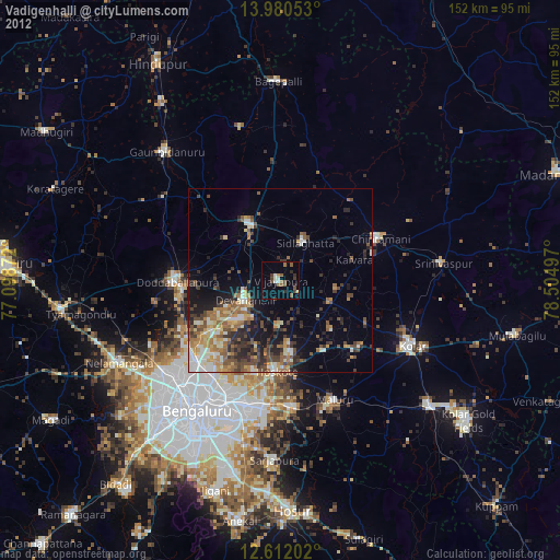
» Earth at Night: Flat Maps 2012, 2016