Khurai night lights from space
Night Light of Khurai (Madhya Pradesh) from space (India) Src. Average luminocity for 10x10km area is 31.3144% and for 50x50km: 10.8285%.
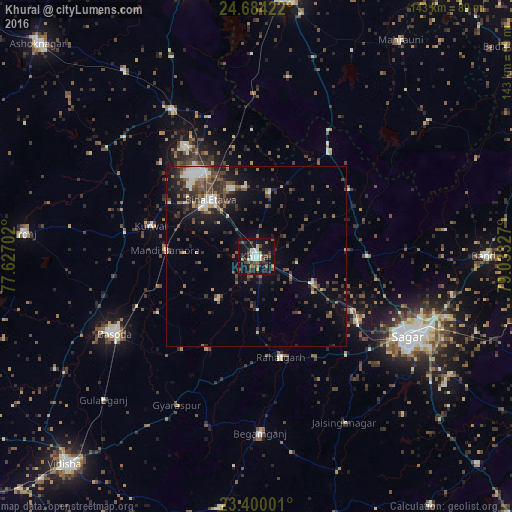
Analysis of Khurai night lights 2016
Square area 10x10 km:
 3.98%
3.98%90-99
5.87%80-89
2.27%70-79
2.08%60-69
2.65%50-59
7.39%40-49
6.63%30-39
4.36%20-29
4.55%10-19
48.67%0-9
11.55%Square area 50x50 km:
1.12%90-99
1.44%80-89
0.7%70-79
0.46%60-69
1.35%50-59
2.19%40-49
2.58%30-39
2.9%20-29
2.92%10-19
7.55%0-9
76.79%Clear (daylight) street map image can be seen on geolist.org.
Map coordinates:
24° 41' 3.2" North, 77° 37' 37.3" East
24° 2' 37.4" North, 78° 19' 48.5" East
23° 24' 0" North, 79° 1' 59.8" East
Some cities around Khurai sort by population:
• Saugor
47.4 km =29.5 mi,  118°
118°
• Bāsoda
45.3 km =28.1 mi,  241°
241°
• Etāwa
20.2 km =12.6 mi,  320°
320°
• Begamganj
49.4 km =30.7 mi,  178°
178°
• Rāhatgarh
29 km =18 mi,  166°
166°
• Mungaoli
47 km =29.2 mi,  329°
329°
• Korwai
30.6 km =19 mi,  285°
285°
• Bamora
24.5 km =15.2 mi,  273°
273°
1266620 (p: 31,613)
Sources (retrieved 2019-11-25):
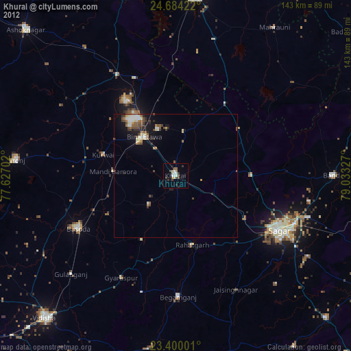
» Earth at Night: Flat Maps 2012, 2016