Saugor night lights from space
Night Light of Saugor (Madhya Pradesh) from space (India) Src. Average luminocity for 10x10km area is 82.244% and for 50x50km: 15.7696%.
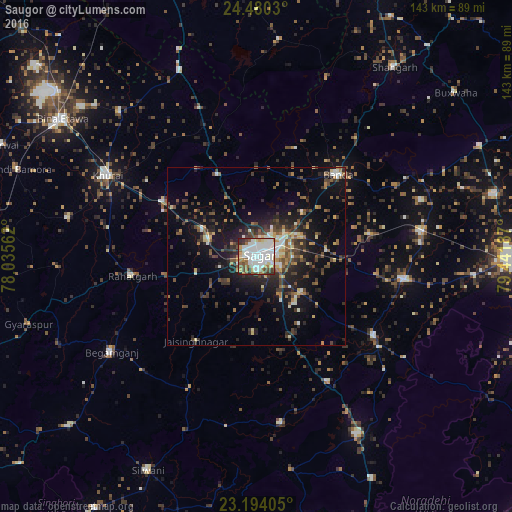
Analysis of Saugor night lights 2016
Square area 10x10 km:
 30.56%
90-99
29.96%80-89
6.75%70-79
3.77%60-69
8.13%50-59
6.35%40-49
6.15%30-39
4.56%20-29
3.77%10-19
0%0-9
0%Square area 50x50 km:
1.83%90-99
2.39%80-89
1.55%70-79
1.23%60-69
1.89%50-59
2.39%40-49
3.23%30-39
3.4%20-29
4.98%10-19
10.97%0-9
66.15%Clear (daylight) street map image can be seen on geolist.org.
Map coordinates:
24° 28' 49.1" North, 78° 2' 8.2" East
23° 50' 19.6" North, 78° 44' 19.5" East
23° 11' 38.6" North, 79° 26' 30.7" East
Some cities around Saugor sort by population:
• Banda
32.2 km =20 mi,  44°
44°
• Garhākota
41.7 km =25.9 mi,  99°
99°
• Rehli
39.9 km =24.8 mi,  124°
124°
• Rāhatgarh
35.4 km =22 mi,  261°
261°
• Patharia
46.8 km =29.1 mi,  81°
81°
• Shāhpur
32.3 km =20.1 mi, 79°
• Dhāna
16.2 km =10.1 mi,  129°
129°
• Karrāpur
17.8 km =11.1 mi,  46°
46°
1257845 (p: 247,333)
Sources (retrieved 2019-11-25):
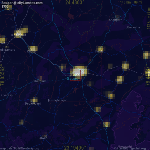
» NASA, Earths city lights 1995
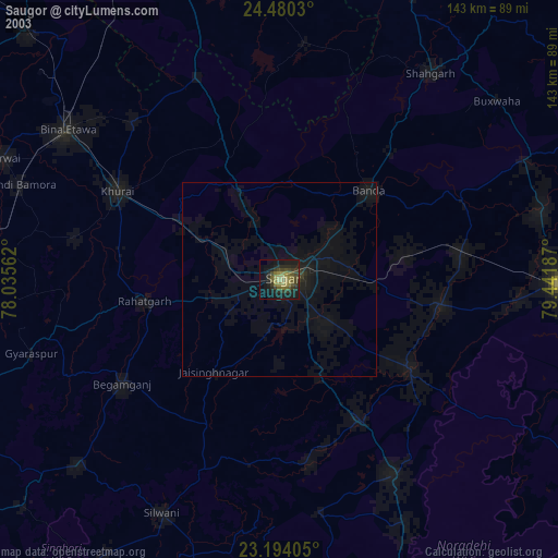
» NASA city lights 2003
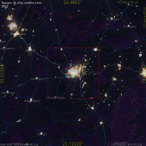
» Earth at Night: Flat Maps 2012, 2016