Etāwa night lights from space
Night Light of Etāwa (Madhya Pradesh) from space (India) Src. Average luminocity for 10x10km area is 49.2803% and for 50x50km: 12.9942%.
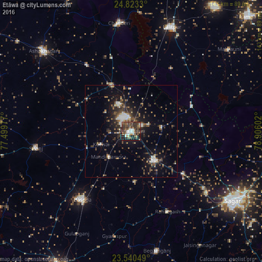
Analysis of Etāwa night lights 2016
Square area 10x10 km:
 6.63%
6.63%90-99
8.71%80-89
4.17%70-79
3.98%60-69
4.36%50-59
12.5%40-49
15.91%30-39
17.05%20-29
13.64%10-19
13.07%0-9
0%Square area 50x50 km:
1.34%90-99
1.8%80-89
0.84%70-79
0.72%60-69
1.64%50-59
2.33%40-49
2.91%30-39
3.5%20-29
3.81%10-19
9.57%0-9
71.53%Clear (daylight) street map image can be seen on geolist.org.
Map coordinates:
24° 49' 23.9" North, 77° 29' 59.2" East
24° 11' 0.6" North, 78° 12' 10.4" East
23° 32' 25.8" North, 78° 54' 21.7" East
Some cities around Etāwa sort by population:
• Bāsoda
45.8 km =28.5 mi,  216°
216°
• Sironj
52.7 km =32.7 mi,  260°
260°
• Khurai
20.2 km =12.6 mi,  140°
140°
• Rāhatgarh
47.9 km =29.8 mi,  156°
156°
• Mungaoli
27.3 km =17 mi,  336°
336°
• Korwai
18.1 km =11.2 mi,  246°
246°
• Pāli
40.5 km =25.2 mi,  32°
32°
• Bamora
18.3 km =11.4 mi, 218°
1275582 (p: 55,185)
Sources (retrieved 2019-11-25):
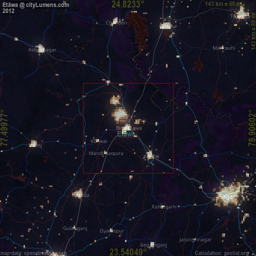
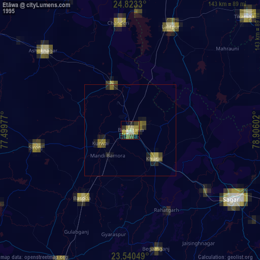
» NASA, Earths city lights 1995
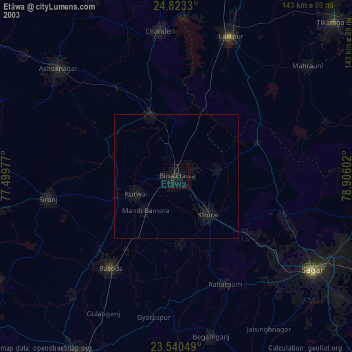
» NASA city lights 2003
» Earth at Night: Flat Maps 2012, 2016