Nawalgarh night lights from space
Night Light of Nawalgarh (Rajasthan) from space (India) Src. Average luminocity for 10x10km area is 36.0814% and for 50x50km: 9.17%.
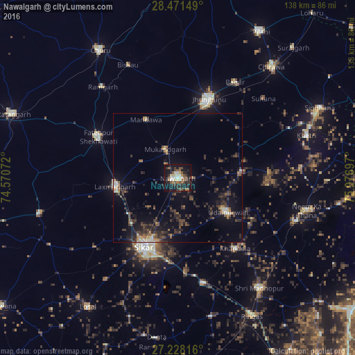
Analysis of Nawalgarh night lights 2016
Square area 10x10 km:
 2.08%
2.08%90-99
7.95%80-89
4.17%70-79
2.27%60-69
3.98%50-59
8.14%40-49
7.58%30-39
6.82%20-29
12.5%10-19
36.74%0-9
7.77%Square area 50x50 km:
0.46%90-99
0.75%80-89
0.67%70-79
0.67%60-69
0.9%50-59
1.56%40-49
2.29%30-39
2.75%20-29
3.83%10-19
8.12%0-9
78%Clear (daylight) street map image can be seen on geolist.org.
Map coordinates:
28° 28' 17.4" North, 74° 34' 14.6" East
27° 51' 5.8" North, 75° 16' 25.8" East
27° 13' 41.4" North, 75° 58' 37.1" East
Some cities around Nawalgarh sort by population:
• Sīkar
29.7 km =18.5 mi,  206°
206°
• Jhunjhunūn
32.8 km =20.4 mi,  21°
21°
• Fatehpur
35 km =21.7 mi,  297°
297°
• Lachhmangarh Sīkar
24.4 km =15.2 mi,  262°
262°
• Udaipur
24.2 km =15 mi,  126°
126°
• Khandela
35.4 km =22 mi,  140°
140°
• Bagar
43.5 km =27 mi,  30°
30°
• Bhuma
34.3 km =21.3 mi, 257°
1261613 (p: 58,346)
Sources (retrieved 2019-11-25):
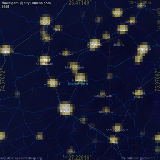
» NASA, Earths city lights 1995
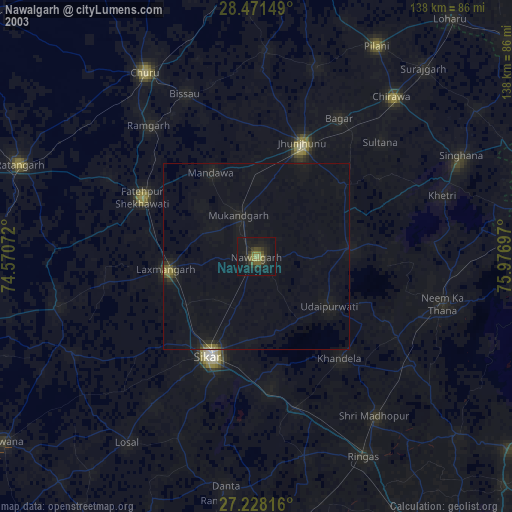
» NASA city lights 2003
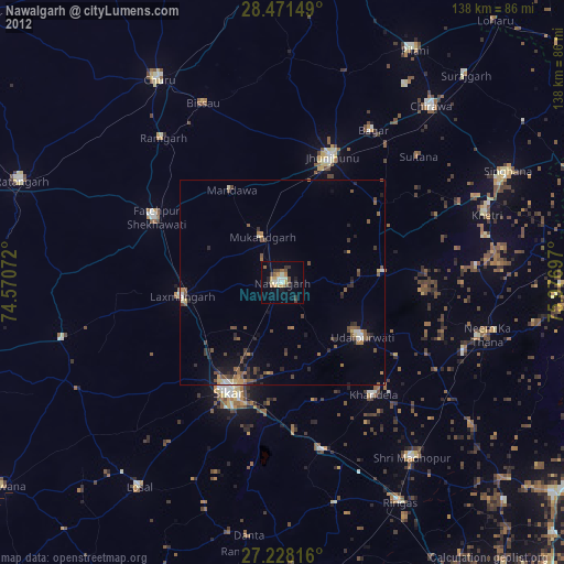
» Earth at Night: Flat Maps 2012, 2016