Purnia night lights from space
Night Light of Purnia (Bihar) from space (India) Src. Average luminocity for 10x10km area is 75.6742% and for 50x50km: 13.0217%.
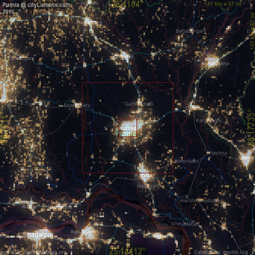
Analysis of Purnia night lights 2016
Square area 10x10 km:
 34.28%
90-99
19.89%80-89
2.65%70-79
4.36%60-69
5.68%50-59
7.95%40-49
8.9%30-39
7.95%20-29
7.2%10-19
1.14%0-9
0%Square area 50x50 km:
1.91%90-99
1.65%80-89
0.78%70-79
0.86%60-69
1.33%50-59
2.25%40-49
3.1%30-39
4.12%20-29
5.12%10-19
7.35%0-9
71.52%Clear (daylight) street map image can be seen on geolist.org.
Map coordinates:
26° 24' 37.4" North, 86° 46' 16" East
25° 46' 44.2" North, 87° 28' 27.2" East
25° 8' 38.8" North, 88° 10' 38.5" East
Some cities around Purnia sort by population:
• Katihar
28.4 km =17.6 mi,  160°
160°
• Arāria
41.4 km =25.7 mi,  5°
5°
• Bihārīganj
48.9 km =30.4 mi,  264°
264°
• Kasba
10.7 km =6.6 mi,  36°
36°
• Banmankhi
30.6 km =19 mi,  293°
293°
• Murlīganj
49.6 km =30.8 mi, 285°
• Dalkola
38.2 km =23.7 mi,  73°
73°
• Raghunāthpur
46.9 km =29.1 mi,  108°
108°
1259166 (p: 198,453)
Sources (retrieved 2019-11-25):
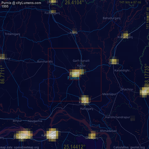
» NASA, Earths city lights 1995
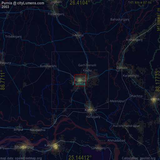
» NASA city lights 2003
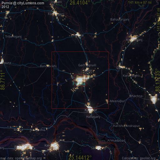
» Earth at Night: Flat Maps 2012, 2016