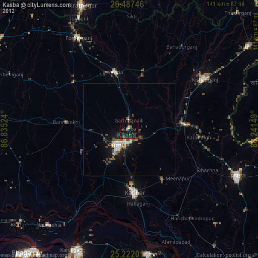
Kasba night lights from space
Night Light of Kasba (Bihar) from space (India) Src. Average luminocity for 10x10km area is 35.6345% and for 50x50km: 11.5553%.
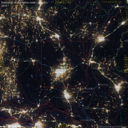
Analysis of Kasba night lights 2016
Square area 10x10 km:
 1.33%
1.33%90-99
2.65%80-89
2.08%70-79
2.65%60-69
8.14%50-59
10.04%40-49
9.85%30-39
14.2%20-29
17.42%10-19
25.19%0-9
6.44%Square area 50x50 km:
1.67%90-99
1.35%80-89
0.68%70-79
0.76%60-69
1.29%50-59
1.85%40-49
2.96%30-39
3.84%20-29
4.51%10-19
6%0-9
75.11%Clear (daylight) street map image can be seen on geolist.org.
Map coordinates:
26° 29' 14.9" North, 86° 50' 6.9" East
25° 51' 23.1" North, 87° 32' 18.1" East
25° 13' 19.2" North, 88° 14' 29.4" East
Some cities around Kasba sort by population:
• Purnia
10.7 km =6.6 mi,  216°
216°
• Katihar
35.5 km =22.1 mi,  174°
174°
• Kishanganj
49.8 km =30.9 mi,  56°
56°
• Arāria
32.7 km =20.3 mi,  355°
355°
• Bahādurganj
53.4 km =33.2 mi,  32°
32°
• Banmankhi
34.6 km =21.5 mi,  275°
275°
• Dalkola
30.3 km =18.8 mi,  85°
85°
• Raghunāthpur
44.7 km =27.8 mi,  121°
121°
1259108 (p: 26,937)
Sources (retrieved 2019-11-25):
» Earth at Night: Flat Maps 2012, 2016