Kargil night lights from space
Night Light of Kargil (Ladakh) from space (India) Src. Average luminocity for 10x10km area is 8.8199% and for 50x50km: 0.4954%.
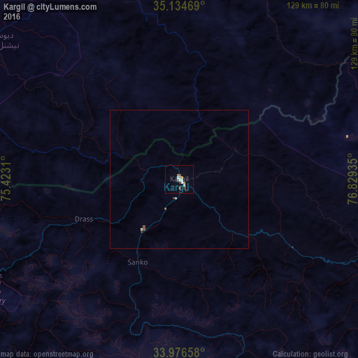
Analysis of Kargil night lights 2016
Square area 10x10 km:
 1.57%
1.57%90-99
1.92%80-89
0%70-79
1.05%60-69
1.75%50-59
0.7%40-49
1.4%30-39
0.7%20-29
1.4%10-19
0%0-9
89.51%Square area 50x50 km:
0.08%90-99
0.12%80-89
0%70-79
0.04%60-69
0.07%50-59
0.08%40-49
0.08%30-39
0.08%20-29
0.06%10-19
0%0-9
99.38%Clear (daylight) street map image can be seen on geolist.org.
Map coordinates:
35° 8' 4.9" North, 75° 25' 23.2" East
34° 33' 27.5" North, 76° 7' 34.4" East
33° 58' 35.7" North, 76° 49' 45.7" East
Some cities around Kargil sort by population:
• Srinagar
132.1 km =82.1 mi,  246°
246°
• Anantnag
128.3 km =79.7 mi,  224°
224°
• Bijbehara
126.5 km =78.6 mi,  227°
227°
• Pulwama
136 km =84.5 mi,  236°
236°
• Gāndarbal
129.4 km =80.4 mi, 253°
• Trāl
116.4 km =72.3 mi, 232°
• Pahlgām
95.5 km =59.3 mi, 230°
• Awantipur
124.3 km =77.2 mi, 235°
1267776 (p: 13,838)
Sources (retrieved 2019-11-25):
» Earth at Night: Flat Maps 2012, 2016