Srinagar night lights from space
Night Light of Srinagar (Jammu and Kashmir) from space (India) Src. Average luminocity for 10x10km area is 89.8497% and for 50x50km: 19.882%.
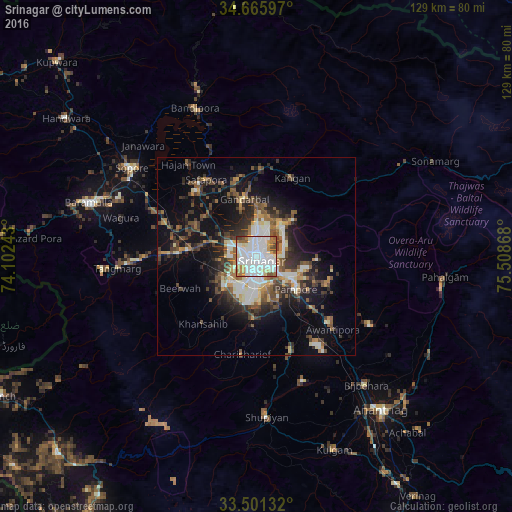
Analysis of Srinagar night lights 2016
Square area 10x10 km:
 41.08%
90-99
30.77%80-89
6.99%70-79
5.59%60-69
6.12%50-59
5.07%40-49
2.97%30-39
1.4%20-29
0%10-19
0%0-9
0%Square area 50x50 km:
3.14%90-99
3.76%80-89
1.84%70-79
1.82%60-69
1.98%50-59
3.31%40-49
3.98%30-39
3.88%20-29
5.26%10-19
10.53%0-9
60.48%Clear (daylight) street map image can be seen on geolist.org.
Map coordinates:
34° 39' 57.5" North, 74° 6' 8.7" East
34° 5' 8.3" North, 74° 48' 20" East
33° 30' 4.8" North, 75° 30' 31.2" East
Some cities around Srinagar sort by population:
• Soyībug
9.2 km =5.7 mi,  263°
263°
• Pulwama
25.1 km =15.6 mi,  159°
159°
• Gāndarbal
15.9 km =9.9 mi,  349°
349°
• Pattan
24.4 km =15.2 mi,  290°
290°
• Sumbal
21.7 km =13.5 mi,  317°
317°
• Hājan
29.4 km =18.3 mi, 323°
• Tsrār Sharīf
25 km =15.5 mi,  188°
188°
• Awantipur
26.7 km =16.6 mi,  133°
133°
1255634 (p: 975,857)
Sources (retrieved 2019-11-25):
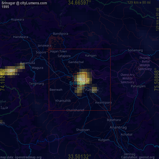
» NASA, Earths city lights 1995
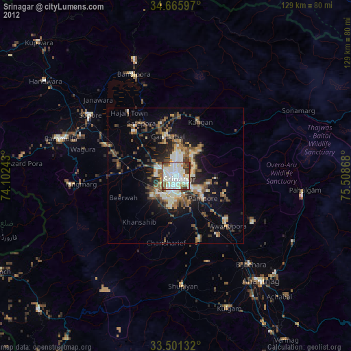
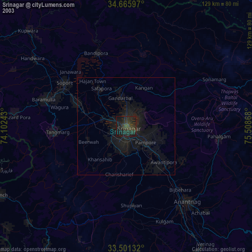
» NASA city lights 2003
» Earth at Night: Flat Maps 2012, 2016