Pulwama night lights from space
Night Light of Pulwama (Jammu and Kashmir) from space (India) Src. Average luminocity for 10x10km area is 6.3357% and for 50x50km: 13.2944%.
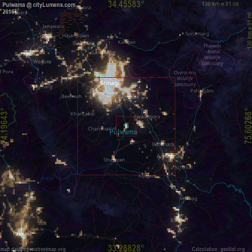
Analysis of Pulwama night lights 2016
Square area 10x10 km:
 0%
0%90-99
0%80-89
1.4%70-79
0%60-69
0%50-59
0.87%40-49
1.92%30-39
3.5%20-29
1.05%10-19
0.52%0-9
90.73%Square area 50x50 km:
2.43%90-99
2.64%80-89
1.44%70-79
1.21%60-69
1.03%50-59
2.26%40-49
2.24%30-39
2.33%20-29
3.05%10-19
5.71%0-9
75.66%Clear (daylight) street map image can be seen on geolist.org.
Map coordinates:
34° 27' 21" North, 74° 11' 47.1" East
33° 52' 26.6" North, 74° 53' 58.4" East
33° 17' 17.8" North, 75° 36' 9.6" East
Some cities around Pulwama sort by population:
• Srinagar
25.1 km =15.6 mi,  339°
339°
• Anantnag
28.4 km =17.6 mi,  124°
124°
• Bijbehara
21.1 km =13.1 mi,  114°
114°
• Kulgam
27.8 km =17.3 mi,  156°
156°
• Shupīyan
18.5 km =11.5 mi,  199°
199°
• Trāl
20.8 km =12.9 mi,  73°
73°
• Tsrār Sharīf
12.5 km =7.8 mi,  264°
264°
• Awantipur
11.8 km =7.3 mi,  64°
64°
1259251 (p: 20,071)
Sources (retrieved 2019-11-25):
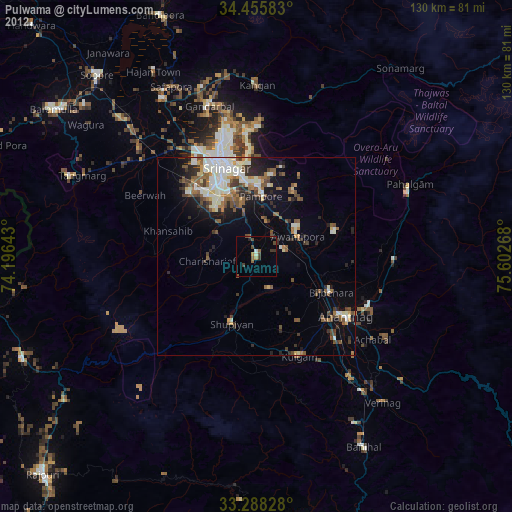
» Earth at Night: Flat Maps 2012, 2016