Kapūrthala night lights from space
Night Light of Kapūrthala (Punjab) from space (India) Src. Average luminocity for 10x10km area is 48.979% and for 50x50km: 23.366%.
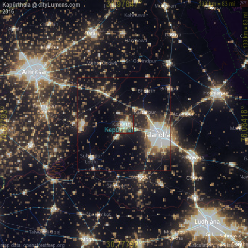
Analysis of Kapūrthala night lights 2016
Square area 10x10 km:
 3.67%
3.67%90-99
16.26%80-89
4.72%70-79
5.07%60-69
5.24%50-59
5.59%40-49
9.97%30-39
9.09%20-29
22.9%10-19
16.96%0-9
0.52%Square area 50x50 km:
3.17%90-99
5.15%80-89
1.81%70-79
1.73%60-69
2.3%50-59
3.48%40-49
4.6%30-39
3.94%20-29
7.58%10-19
15.31%0-9
50.93%Clear (daylight) street map image can be seen on geolist.org.
Map coordinates:
31° 58' 42.5" North, 74° 40' 40.5" East
31° 22' 48.4" North, 75° 22' 51.8" East
30° 46' 40.5" North, 76° 5' 3" East
Some cities around Kapūrthala sort by population:
• Jalandhar
19.8 km =12.3 mi,  107°
107°
• Nakodar
29.6 km =18.4 mi,  162°
162°
• Kartārpur
13.1 km =8.1 mi,  58°
58°
• Sultanpur
25.4 km =15.8 mi,  223°
223°
• Bhulath Gharbi
21.7 km =13.5 mi,  33°
33°
• Begowāl
29 km =18 mi, 27°
• Dhilwan
15.3 km =9.5 mi,  347°
347°
• Alāwalpur
26.7 km =16.6 mi,  77°
77°
1267911 (p: 92,667)
Sources (retrieved 2019-11-25):
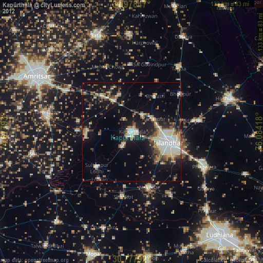
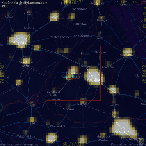
» NASA, Earths city lights 1995
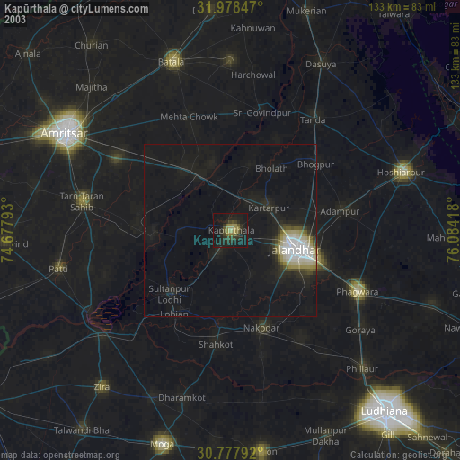
» NASA city lights 2003
» Earth at Night: Flat Maps 2012, 2016