Kartārpur night lights from space
Night Light of Kartārpur (Punjab) from space (India) Src. Average luminocity for 10x10km area is 31.2552% and for 50x50km: 24.08%.
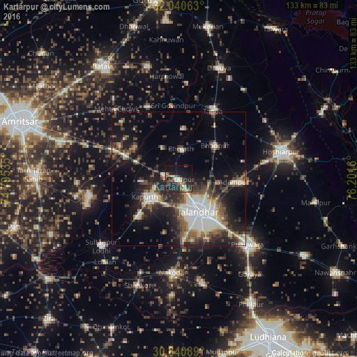
Analysis of Kartārpur night lights 2016
Square area 10x10 km:
 0.7%
0.7%90-99
5.42%80-89
2.8%70-79
3.32%60-69
5.94%50-59
3.15%40-49
6.29%30-39
4.9%20-29
25.7%10-19
26.75%0-9
15.03%Square area 50x50 km:
3.13%90-99
5.47%80-89
2.2%70-79
1.8%60-69
2.4%50-59
3.7%40-49
4.5%30-39
4.84%20-29
8.03%10-19
13.28%0-9
50.64%Clear (daylight) street map image can be seen on geolist.org.
Map coordinates:
32° 2' 26.3" North, 74° 47' 43.3" East
31° 26' 33.6" North, 75° 29' 54.5" East
30° 50' 27.2" North, 76° 12' 5.8" East
Some cities around Kartārpur sort by population:
• Jalandhar
15.1 km =9.4 mi,  149°
149°
• Kapūrthala
13.1 km =8.1 mi,  238°
238°
• Bhogpur
18.5 km =11.5 mi,  47°
47°
• Adampur
20.6 km =12.8 mi,  93°
93°
• Bhulath Gharbi
11.2 km =7 mi,  4°
4°
• Begowāl
18.9 km =11.7 mi,  6°
6°
• Dhilwan
16.5 km =10.3 mi,  298°
298°
• Alāwalpur
15 km =9.3 mi, 94°
1267669 (p: 26,701)
Sources (retrieved 2019-11-25):
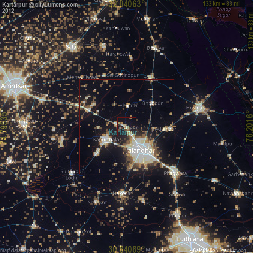
» Earth at Night: Flat Maps 2012, 2016