Kannauj night lights from space
Night Light of Kannauj (Uttar Pradesh) from space (India) Src. Average luminocity for 10x10km area is 34.7639% and for 50x50km: 6.3528%.
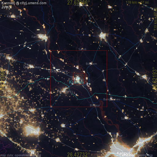
Analysis of Kannauj night lights 2016
Square area 10x10 km:
 6.35%
6.35%90-99
7.14%80-89
2.78%70-79
0.4%60-69
3.17%50-59
6.75%40-49
4.56%30-39
6.94%20-29
7.54%10-19
46.03%0-9
8.33%Square area 50x50 km:
0.55%90-99
1.16%80-89
0.87%70-79
0.27%60-69
0.27%50-59
0.71%40-49
1.15%30-39
1.3%20-29
1.58%10-19
4.19%0-9
87.95%Clear (daylight) street map image can be seen on geolist.org.
Map coordinates:
27° 40' 46.8" North, 79° 12' 56.4" East
27° 3' 18.9" North, 79° 55' 7.7" East
26° 25' 38.4" North, 80° 37' 18.9" East
Some cities around Kannauj sort by population:
• Gursahāiganj
19.7 km =12.2 mi,  289°
289°
• Bilgrām
17.4 km =10.8 mi,  40°
40°
• Sāndi
26.2 km =16.3 mi,  7°
7°
• Bilhaur
27.6 km =17.1 mi,  148°
148°
• Indergarh
27.9 km =17.3 mi,  241°
241°
• Tālgrām
26.8 km =16.7 mi,  268°
268°
• Mādhoganj
23 km =14.3 mi,  72°
72°
• Ganj Murādābād
28.4 km =17.6 mi,  112°
112°
1268011 (p: 76,714)
Sources (retrieved 2019-11-25):
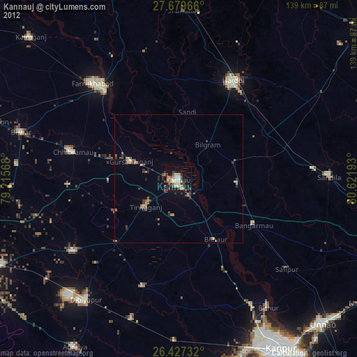
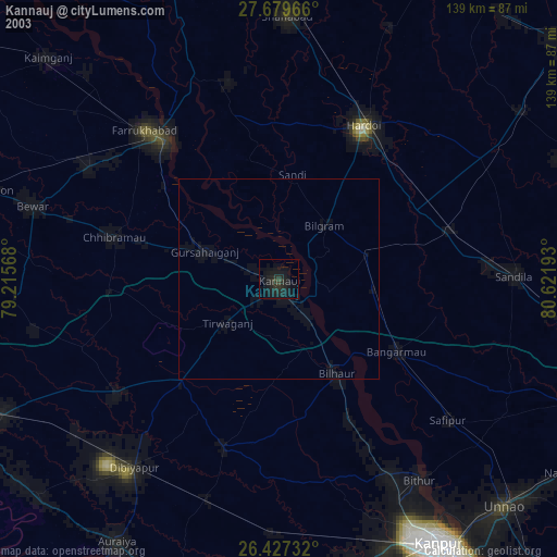
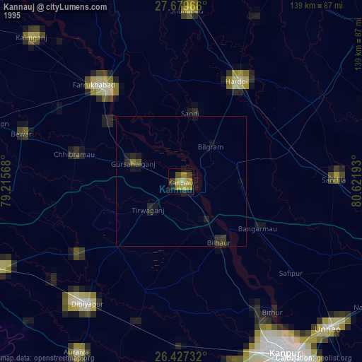
» NASA, Earths city lights 1995
» NASA city lights 2003
» Earth at Night: Flat Maps 2012, 2016