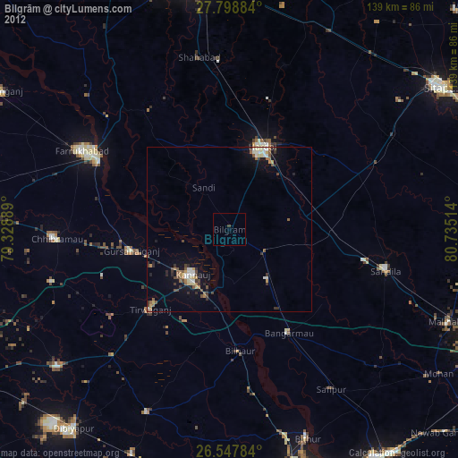
Bilgrām night lights from space
Night Light of Bilgrām (Uttar Pradesh) from space (India) Src. Average luminocity for 10x10km area is 3.5663% and for 50x50km: 5.4913%.
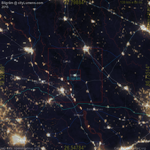
Analysis of Bilgrām night lights 2016
Square area 10x10 km:
 0.76%
0.76%90-99
0.76%80-89
0%70-79
0%60-69
0%50-59
0.76%40-49
2.27%30-39
0%20-29
0.76%10-19
0%0-9
94.7%Square area 50x50 km:
0.55%90-99
1.32%80-89
0.5%70-79
0.23%60-69
0.39%50-59
0.71%40-49
0.77%30-39
0.9%20-29
1.15%10-19
4.63%0-9
88.85%Clear (daylight) street map image can be seen on geolist.org.
Map coordinates:
27° 47' 55.8" North, 79° 19' 44" East
27° 10' 30.3" North, 80° 1' 55.2" East
26° 32' 52.2" North, 80° 44' 6.5" East
Some cities around Bilgrām sort by population:
• Hardoī
26.4 km =16.4 mi,  21°
21°
• Kannauj
17.4 km =10.8 mi,  220°
220°
• Gursahāiganj
30.4 km =18.9 mi,  257°
257°
• Bāngarmau
36.2 km =22.5 mi,  150°
150°
• Sāndi
14.9 km =9.3 mi,  327°
327°
• Bilhaur
37 km =23 mi,  175°
175°
• Mādhoganj
12.5 km =7.8 mi,  120°
120°
• Ganj Murādābād
28.5 km =17.7 mi, 148°
1275618 (p: 27,173)
Sources (retrieved 2019-11-25):
» Earth at Night: Flat Maps 2012, 2016