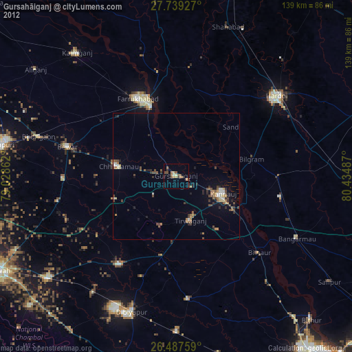
Gursahāiganj night lights from space
Night Light of Gursahāiganj (Uttar Pradesh) from space (India) Src. Average luminocity for 10x10km area is 13.8598% and for 50x50km: 7.8922%.
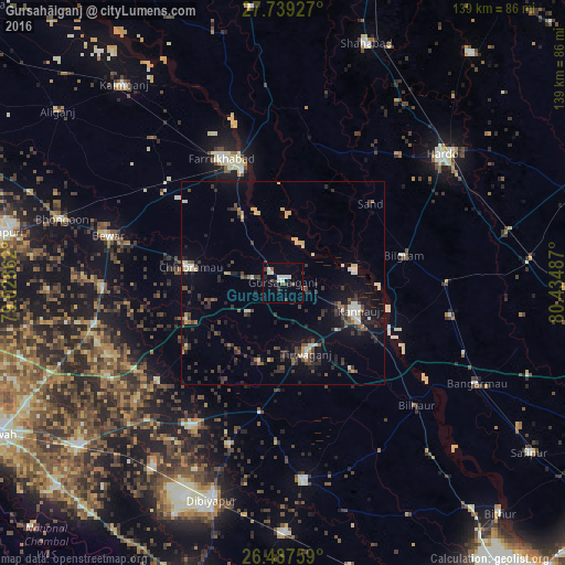
Analysis of Gursahāiganj night lights 2016
Square area 10x10 km:
 0.95%
0.95%90-99
3.22%80-89
2.65%70-79
0%60-69
0.38%50-59
1.89%40-49
2.08%30-39
2.84%20-29
2.46%10-19
1.33%0-9
82.2%Square area 50x50 km:
0.52%90-99
1.07%80-89
0.88%70-79
0.39%60-69
0.58%50-59
0.97%40-49
1.54%30-39
2.03%20-29
2.69%10-19
5.06%0-9
84.27%Clear (daylight) street map image can be seen on geolist.org.
Map coordinates:
27° 44' 21.4" North, 79° 1' 43" East
27° 6' 54.6" North, 79° 43' 54.3" East
26° 29' 15.3" North, 80° 26' 5.5" East
Some cities around Gursahāiganj sort by population:
• Kannauj
19.7 km =12.2 mi,  109°
109°
• Chhibrāmau
23.2 km =14.4 mi,  279°
279°
• Sāndi
29.1 km =18.1 mi,  48°
48°
• Indergarh
20.9 km =13 mi,  196°
196°
• Kamalganj
19.1 km =11.9 mi,  328°
328°
• Fatehgarh
29.4 km =18.3 mi,  340°
340°
• Saurikh
25.9 km =16.1 mi,  248°
248°
• Tālgrām
11.2 km =7 mi,  227°
227°
1270619 (p: 40,214)
Sources (retrieved 2019-11-25):
» Earth at Night: Flat Maps 2012, 2016