Sāndi night lights from space
Night Light of Sāndi (Uttar Pradesh) from space (India) Src. Average luminocity for 10x10km area is 1.0114% and for 50x50km: 4.2835%.
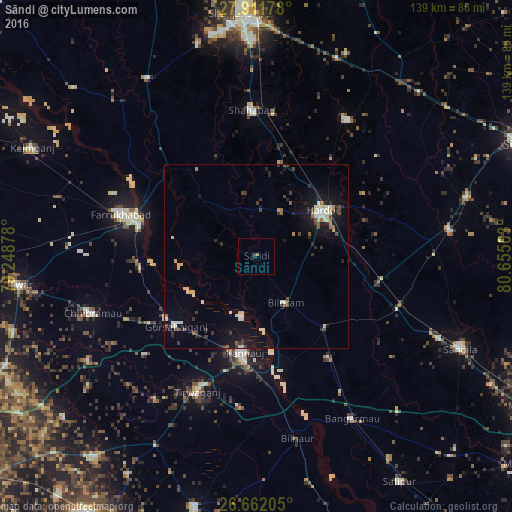
Analysis of Sāndi night lights 2016
Square area 10x10 km:
 0%
0%90-99
0%80-89
0%70-79
0%60-69
0.57%50-59
0.19%40-49
0%30-39
0.76%20-29
0.57%10-19
0.38%0-9
97.54%Square area 50x50 km:
0.33%90-99
0.83%80-89
0.61%70-79
0.22%60-69
0.34%50-59
0.39%40-49
0.7%30-39
0.68%20-29
0.8%10-19
3.54%0-9
91.55%Clear (daylight) street map image can be seen on geolist.org.
Map coordinates:
27° 54' 42.4" North, 79° 14' 55.6" East
27° 17' 19.2" North, 79° 57' 6.8" East
26° 39' 43.4" North, 80° 39' 18.1" East
Some cities around Sāndi sort by population:
• Farrukhābād
38.5 km =23.9 mi,  287°
287°
• Hardoī
21.3 km =13.2 mi,  56°
56°
• Kannauj
26.2 km =16.3 mi,  187°
187°
• Gursahāiganj
29.1 km =18.1 mi,  228°
228°
• Bilgrām
14.9 km =9.3 mi,  147°
147°
• Kamalganj
31.8 km =19.8 mi,  264°
264°
• Fatehgarh
32.8 km =20.4 mi,  284°
284°
• Mādhoganj
26.6 km =16.5 mi,  135°
135°
1257461 (p: 25,008)
Sources (retrieved 2019-11-25):
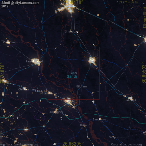
» Earth at Night: Flat Maps 2012, 2016